
How to survive an El Niño summer in Brakpan
Popular social media weather expert shares information and tips to prepare for summer.
An El Niño weather event has been brewing in the Pacific Ocean lately, affecting global weather patterns and climates.
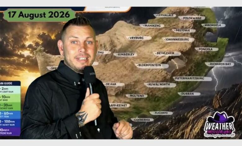
The Brakpan Herald spoke to Juandre Vorster, known as the Weather Hooligan on social media, about what this means and what to expect heading into summer.
“The easiest way I explain El Niño is that something happening thousands of kilometres away in the Pacific Ocean can actually influence our weather here in South Africa,” he said.
“El Niño happens when the surface water in parts of the tropical Pacific becomes warmer than normal. That changes atmospheric circulation, which then affects weather patterns worldwide.
“For South Africa, El Niño generally increases the chances of hotter and drier conditions during our summer rainfall season.
“But, as the Weather Hooligan, I always tell people not to look at El Niño as simply meaning ‘no rain’. That’s not how it works.
“We can still get thunderstorms, and some of those thunderstorms can be extremely strong. It changes the overall seasonal pattern rather than switching off the rain.
“I would suggest that people prepare themselves for a potentially very hot summer, with longer dry periods between rainfall events.
“The current seasonal outlook is pointing towards warmer-than-normal temperatures and below-normal rainfall being more likely over much of South Africa.
“But, Gauteng is thunderstorm country. We can go through a very hot and dry period and then suddenly get a massive thunderstorm. So my advice is: don’t pack the umbrella away.”
Weather Hooligan is more interested in how long the dry period between the thunderstorms will last, and how the storms will behave.
ALSO READ: Beekeepers watch the skies as El Niño threatens bee populations
He explains that people should also remember that one location can get 50mm of rain in one storm, while another area just 20km to 30kms away gets almost nothing, as is the nature of summer thunderstorms.
Asked about access to water, farming and food production, Hooligan says that people should start thinking ahead.
“If temperatures are higher and rainfall is lower, evaporation increases. That puts additional pressure on dams, rivers, soil moisture and groundwater,” he said.
For farmers, it’s not just about the total amount of rain. Timing is incredibly important.
“You could receive one massive thunderstorm and then have a long dry period afterwards. That can still create problems for crops and livestock,” he said.
“As the Weather Hooligan, I would suggest that people start treating water as a valuable resource now, rather than waiting until there is a serious shortage.
“Fix leaking taps, don’t waste water, and where possible look at rainwater harvesting. We’re fortunate that many areas are going into this season with reasonable water and soil-moisture reserves after good rainfall in the previous season, but that doesn’t mean we should become complacent.”
On top of lower and more sporadic rainfall, an El Niño summer in Gauteng could increase the risk of veld fires and drought.
“Hotter and drier conditions can dry out grass and vegetation, which increases the potential for veld fires and drought stress,” he said.
“But, here’s where I think people sometimes misunderstand El Niño. It does not mean there can’t be floods.
“I always say: you can have a dry summer overall and still have one thunderstorm that produces enough rain in a few hours to cause flash flooding, so my suggestion is to prepare for both sides of the weather.”
ALSO READ: Mayor assures Ekurhuleni of efforts to find perpetrators of recent killings
He recommends clearing dry vegetation around your property and staying fire-aware, while also cleaning your gutters, checking your roof, and making sure you’re prepared for those big summer thunderstorms.
According to Weather Hooligan, current international guidance indicates that the El Niño event will likely remain through the end of 2026 and into early 2027.
“But I always like to remind people that a seasonal forecast is not a day-by-day forecast,” he said.
“We can understand the bigger climate pattern, but we can’t tell you today exactly what the weather will be on a particular day several months from now.
“That’s why I suggest people follow the forecasts as we move through the season, because the shorter-range forecasts will tell us where the actual storms, heatwaves and dry periods are developing.
“My advice as the Weather Hooligan is simple: don’t panic, prepare.”
He offers the following tips:
- Start saving water now.
- Fix leaks.
- Avoid unnecessary water use and consider rainwater harvesting if it’s suitable for your property.
For people living close to open veld:
- Clear away unnecessary dry vegetation and make sure your family knows what to do if a fire approaches.
For thunderstorms: - Check your roof.
- Clean your gutters and secure loose objects around your property.
“Please don’t rely on one forecast for the whole summer. My biggest suggestion to the public is to keep checking the short-term forecasts, especially when we start seeing those hot, humid conditions developing over Gauteng,” he said.
Those are the days when he starts watching the atmosphere closely for thunderstorm development.
“My philosophy is simple: you don’t have to fear the weather, but you absolutely have to respect it,” he said.