MARULENG: Considering biodiversity in land use planning
The CBA Map divides the landscape into priority areas for conservation and appropriate land use, namely: protected areas, critical biodiversity areas and ecological support areas.
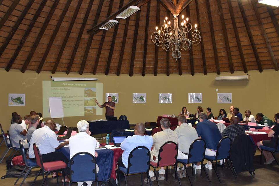
The future of water usage, land use planning and biodiversity conservation in Hoedspruit and Phalaborwa were discussed during a very informative meeting held in Hoedspruit on Wednesday, October 24.
The Association for Water and Rural Development (AWARD) under a grant from USAID Southern Africa held the shared learning event at the Rhino Convention Centre titled ‘Biodiversity and land use planning’ and representatives from interested parties such as estate agents, conservation based enterprises, landowners and managers of reserves in the region as well as staff from Ba-Phalaborwa, Maruleng and Mopani District municipalities were in attendance to engage in the topic.
The event stressed the importance of factoring biodiversity into land use planning and the application of the recently gazetted Mopani District Bioregional Plan and associated Critical Biodiversity Areas (CBA) Map into such planning within the District.
Read: Petition for water handed over to Parliament
The CBA Map divides the landscape into priority areas for conservation and appropriate land use, namely: protected areas, critical biodiversity areas and ecological support areas.
The idea is for the maps to be used as a tool to integrate biodiversity opportunities and constraints into municipal planning and operations.

Derick du Toit, Assistant Director of AWARD addressed the group, “It comes down to one question – Where do we put what in the landscape? You only get one chance.”
AWARD has further developed biodiversity sector plans and associated CBA maps that are based on the Mopani District Bioregional Plan CBA Map for the Maruleng and Ba-Phalaborwa municipalities. This has been done in order to assist the local municipalities in the uptake of the CBA Map and associated biodiversity into their spatial planning.
Habitats within the Maruleng and Ba-Phalaborwa municipalities are diverse with a mix of grassland, savanna and forest. For example, in Maruleng, 13 vegetation types have been recognised as well as priority wetland and river ecosystems.
Across the municipalities, large landscape corridors have been mapped which support ecological processes, such as pollination, nutrient recycling, animal migration and fire in savanna and grassland ecosystems. These processes are required to sustain biodiversity.
All of this and more has been taken into account and with this extensive research and data collection, the CBA maps were compiled.
The CBA maps hope to retain and maintain living landscapes that are representative examples of our biodiversity and important areas for these ecological processes.
Additionally, a land use guideline matrix has been compiled which offers a breakdown of land use zones, the recommended activities in each zone and the compatibility of such land use activities within the biodiversity priority categories as outlined on the CBA maps.
The CBA maps and associated land use guideline matrix should be integrated into municipal spatial planning, such as Integrated Development Plans (IDPs), Spatial Development Frameworks (SDFs)and associated land use schemes, as well as land use decision making, namely rezoning applications, environmental impact assessments, including water use, agricultural and mining applications. The CBA maps will also be important tools for local real estate agents to utilise when selling land to potential buyers.
Important to note however is that the CBA maps do not replace site level assessments. In essence, the CBA maps are blueprints for sustainable development.
In addition, the most important climate change adaption action the municipality can take is to secure the CBA network through appropriate land use planning and decision-making. A free mobile App will be released soon so that anyone interested can easily access and interpret the critical biodiversity details for any piece of land in the two municipalities.