
Rough seas expected to reach KZN coastline this weekend
Snowfall is also predicted for the Drakensberg region of KwaZulu-Natal.
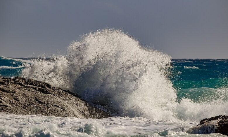
Very rough seas, associated with strong winds, with wave heights of between 4m and 6m can be expected along the west coast from Friday night, spreading along the south coast of the Western Cape on Saturday, to the coast of the Eastern Cape on Saturday night and reaching the KwaZulu-Natal coast on Sunday.
The South African Weather Services said conditions may cause disruption to beachfront activities and difficulty in navigation at sea for small to medium vessels.
High seas with wave heights between 6m to 7m can also be expected along the south coast of the Western Cape from Saturday afternoon into Sunday, spreading to the Eastern Cape coast on Sunday (see figure 2a), which can lead to possible beach erosion and put small to medium vessels at risk of taking on water or capsizing.
Snowfall is expected across interior mountain ranges of the Western Cape, the western and southern high ground of the Northern Cape and the high ground of the Eastern Cape from Saturday (see figure 2b) into Sunday and may extend into the Drakensberg region of KwaZulu-Natal and the extreme southern parts of the Free State on Sunday.
HAVE YOUR SAY
Like the South Coast Herald’s Facebook page, follow us on Twitter and Instagram