WEATHER ALERT: Cold weather conditions expected to continue until Thursday -SAWS
"It will be cold from late Monday over most of the eastern interior of the country until Thursday. Snowfalls are also possible over Lesotho Mountains during this period."
The South African Weather Service (SAWS) has issued a statement regarding low pressure systems that are affecting parts of the country.
In an official statement SAWS said widespread showers and thundershowers were expected from Monday (May 14) to Wednesday (May 16) over the following provinces: Eastern parts of North West, northern and eastern Free State, Gauteng, Limpopo, Mpumalanga and KwaZulu-Natal.
The position of the cut off low currently moving slowly east resulting in the cold and wet weather in the east today and tomorrow. pic.twitter.com/r2UCUdUX0G
— SA Weather Service (@SAWeatherServic) May 14, 2018
“There is potential for some areas to receive significant amounts of rainfall from this weather system, and this may result in localized flooding in places.”
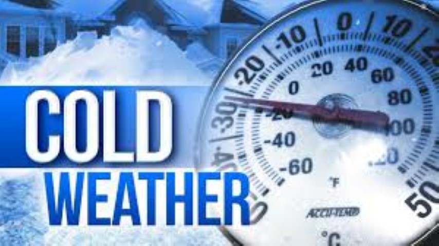
Due to the expected extent of cloudiness, temperatures are also expected to drop significantly over much of the country.
“It will be cold from late Monday over most of the eastern interior of the country until Thursday.
Snowfalls are also possible over Lesotho Mountains during this period.”
ALSO READ: WEATHER ALERT: Possible thunderstorms expected this afternoon
Weather System:
The risk for heavy rain remains on Tuesday for Limpopo and KZN provinces.
By Wednesday the weather system will be over Mpumalanga, resulting in partial clearance in the west, however, the north-eastern parts of KZN can still expect some showers as the airflow will still be favourable for the area. The KZN north coast and adjacent areas will still be at risk of further heavy rains on this day, into Thursday morning.
Conditions all round are set to improve from Thursday afternoon onwards, with a gradual recovery in daytime temperatures.
The service advises the public to take heed of the following precautionary measures when encountering flooding:
- If possible stay indoors and off the roads, avoid crossing rivers and swollen streams where water is above your ankles. If trapped in a flooding situation whilst in a vehicle, rather abandon it and climb to higher ground.
- In buildings, move valuables to a safe place above the expected flood level. Switch off electricity at the supply point to the building.
- In rural areas protect/relocate animals to a safe place on higher ground. Abandon your home immediately if evacuation is recommended by duly authorized officials, before access is cut off by flood water.
- You do not know how deep it is or if the road has been washed away. If the vehicle stalls, leave it immediately and seek higher ground. Be especially cautious at night when it is difficult to identify flood hazards.
- Listen to the radio or TV for warnings and obey the instructions from Disaster Management officials.
The Service will continue to monitor any further developments relating to this weather system and will issue subsequent updates as required.
Furthermore, the public are urged to regularly follow weather forecasts on all news platforms.
Also remember to visit our Facebook, Twitter and Instagram pages.

Remember to read our WhatsApp disclaimer.
You can also email our offices on Reveshni Douglas at reveshni@caxton.co.za or newsun@caxton.co.za Bruce Douglas at Newed2@caxton.co.za Tersia Gopi at newed@caxton.co.za Zianne Leibrandt at ncschools@caxton.co.za