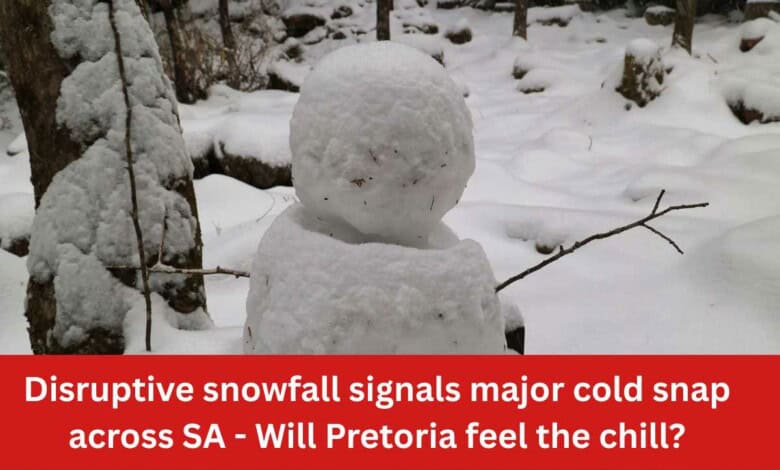
Disruptive snowfall signals major cold snap across SA – Will Pretoria feel the chill?
Snowfall is expected in parts of the country this week — and while Pretoria won’t see flakes, the cold and storms are on the way.
Pretoria residents may not wake up to snow this week, but a powerful weather system bringing disruptive snowfall elsewhere in South Africa is set to send temperatures plunging and storms rolling into the city.
A cut-off low-pressure system is expected to move across the country between Tuesday and Thursday, bringing widespread severe weather conditions, including snowfall over high-lying areas of the Western and Eastern Cape.
The SA Weather Service (SAWS) warned that this slow-moving system is likely to have prolonged impacts as it spreads inland, affecting central and eastern regions, including Gauteng.
Snow elsewhere, but Pretoria is still impacted.
While snowfall is expected to disrupt parts of the Western and Eastern Cape — potentially closing mountain passes and affecting livestock — Pretoria will instead feel the system through a sharp cold snap and unstable weather conditions.
Residents in the capital can expect a noticeable drop in temperatures, accompanied by severe thunderstorms, particularly around midweek. These storms may bring heavy rain that could lead to localised flooding, while strong winds and intense lightning increase the risk of damage across parts of Gauteng.
The SAWS indicated that inland provinces, including areas affecting Gauteng, could see severe thunderstorms with heavy downpours, hail and damaging winds.
This raises the risk of:
- Flash flooding in low-lying areas
- Traffic disruptions during peak hours
- Possible power interruptions due to storm damage
- Wider disruption could still reach Pretoria
Cut-off low systems are known for lingering over regions, intensifying impacts over several days.
This system is expected to bring:
- Widespread rainfall, with some areas exceeding 100–200mm
- Flooding, mudslides and infrastructure damage
- Strong winds and rough conditions along coastal areas
Residents are urged to monitor official updates, avoid flooded roads and take precautions during thunderstorms as conditions develop.
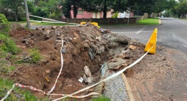
Also read: Armed Wonderboom South suspect shot during domestic violence incident
Do you have more information about the story?
Please send us an email to bennittb@rekord.co.za or phone us on 083 625 4114.
For free breaking and community news, visit Rekord’s websites: Rekord East
For more news and interesting articles, like Rekord on Facebook, follow us on Twitter or Instagram or TikTok or WhatsApp Channel