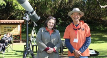
Historian charts transformation of Strubens Valley from farmland to modern suburb
Rod Kruger shares photographs and memories of a vanishing landscape before local farms gave way to shopping centres and suburban homes.
Long-time resident Rod Kruger moved to Strubens Valley in 1986 as only the second person to build a house in the area, which has since transformed from open land into a developed suburb.
Almost 40 years later, he continues to research the people, places and events that shaped the area.
According to Kruger, the farm that once occupied the area was considerably larger than today’s suburb, stretching all the way from Ontdekkers Road to Honeydew, and from Christiaan de Wet Road to the Walter Sisulu National Botanical Garden.
Gold discovery shapes Kloofendal
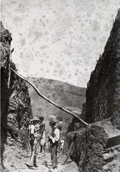
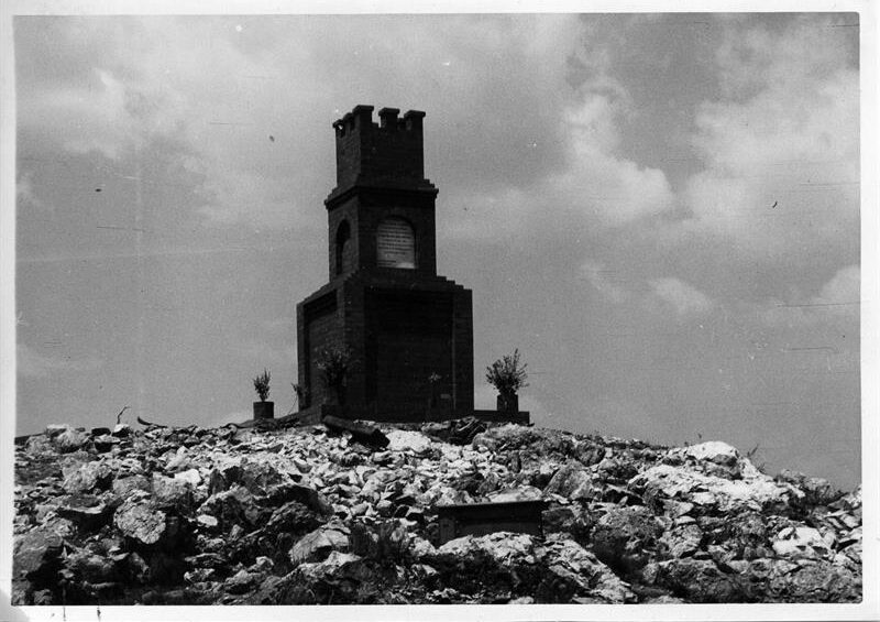
The area’s history is closely connected to the Struben family and the discovery of gold on the Witwatersrand. South African History Online (SAHO) records that Fred and Harry Struben discovered the Confidence Reef on the farm Wilgespruit on September 18, 1884.
SAHO states that the first payable gold on the Rand was extracted at the site. The City of Johannesburg’s historical information also records the brothers’ connection to the farms Wilgespruit and Sterkfontein.
Kruger said Fred Struben spent 17 months searching through rivers, finding small traces from Germiston onwards, before discovering larger amounts of gold in the river at Kloofendal. He said Struben then tracked the eroding gold up into the hills.
SAHO records that a five-stamp crushing battery was erected in 1885 to service the Struben excavations.
Preserving local history
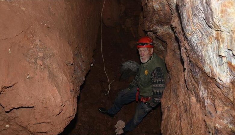
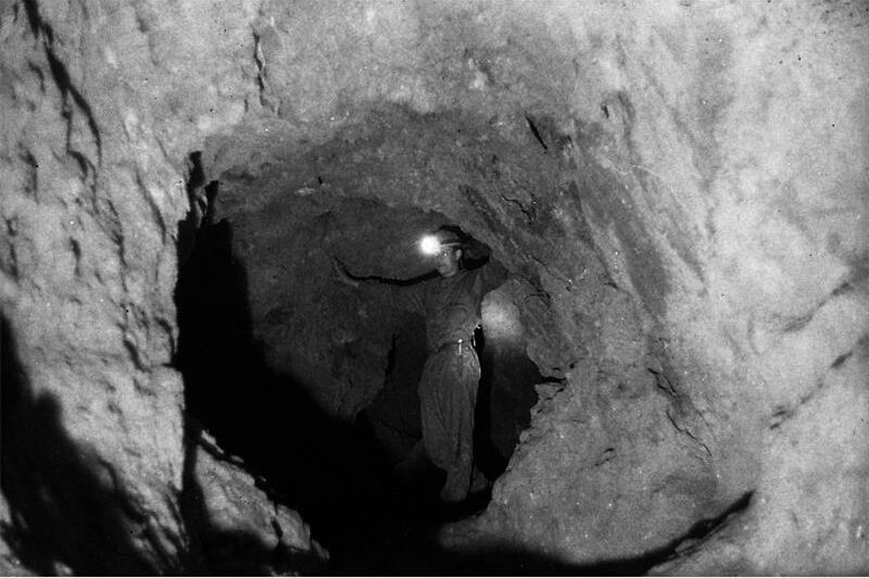
Kruger’s own interest in the area’s mining history began when he explored old mines as a teenager and photographed them.
He later became involved in preserving the historic Struben stamp mill after being asked to film its relocation, and it is now preserved at the Kloofendal Nature Reserve Amphitheatre.
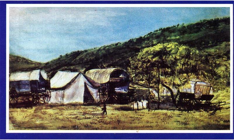
He said the stamp mill was ordered from England, arrived in Durban by sailing ship and was transported by ox wagon to Constantia Kloof, where he later helped preserve the machinery and wrote its accompanying plaque.
His interest in the history of the area’s gold mining also led to his book, Chasing Gold, which documents the history of gold mining at Kloofendal and the Struben family’s connection to the area.
Changing landscape and development
But mining was not the only activity that shaped the landscape. Kruger said parts of Little Falls were used for flower farming and that the manager’s house on one of the farms was built in the late 1920s or early 1930s.
His collection includes aerial photographs which he says date to 1943, showing Little Falls, flower farms, roads, the river and a house that later became associated with Indigo Falls.
Another photograph shows Kruger fishing at a dam that has since disappeared beneath later development.
“This is me 40 years ago, with my fish. All of that is now the mall,” he said.
The City of Johannesburg’s heritage information records that modern suburbs in the area began emerging from the 1970s, as descendants of earlier landowners sold portions of their inherited land. Strubens Valley is among the suburbs listed by the City as developing during this period.
When Kruger arrived in 1986, the area was open veld, forcing him to mark a line with white paint outside his house to navigate his way home without getting lost.
As residential and commercial development continued, the landscape changed further. Clearwater Mall was completed in 2004, according to developer Atterbury’s project records.
Today, Kruger’s photographs, research and Chasing Gold preserve part of the area’s mining history, while his memories provide a glimpse into the landscape that existed before Strubens Valley became the developed suburb residents know today.
“Every road in that town is named for them somehow,” he said.