WARNING: Floods expected in parts of KZN this weekend
It might be time to batten down the hatches as some wet and windy weather is predicted.

Rainy and cold conditions are expected to set in today (Friday) and throughout the weekend over the central and south-eastern parts of the country.
The provinces expected to be particularly affected include the eastern parts of the Northern and Eastern Cape, Free State, North-West, Gauteng as well as KwaZulu-Natal and the highveld region of Mpumalanga.
This is according to the South African Weather Service (SAWS) which strongly urges the public to avoid crossing rivers and swollen streams, especially in cases where the water is more than ankle deep. SAWS also recommends moving to higher ground if rising floodwaters threaten one’s safety.
Associated with these rainy conditions, localised flooding is likely to affect the agricultural sector, infrastructure and settlements over the North-West, the northern parts of the Free state and Gauteng on Friday, including the eastern parts of the Northern Cape, the northern and eastern parts of the Eastern Cape, the western parts of KwaZulu-Natal and the Mpumalanga Highveld on Saturday.
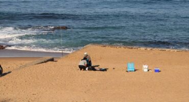
Localised disruptions to beachfront activities as well as incidents of damage to coastal infrastructure may also occur along the coastal region between Port Alfred and Sodwana Bay.
This wet spell will be accompanied by cold to very cold conditions over the southern and south-eastern interior of the country on Friday, spreading to the central and eastern interior by Saturday.
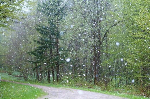
Moreover, light snowfalls can be expected over the eastern and southern parts of Lesotho and the surrounding Drakensberg mountains on Saturday evening as well as overnight Sunday night.
HAVE YOUR SAY
Like the South Coast Herald’s Facebook page, follow us on Twitter and Instagram