
WARNING: Wet weather to trend for the rest of the week
The risk of flooding will affect KwaZulu-Natal, Gauteng, and Mpumalanga by Friday this week.
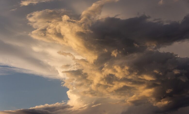
For the past week or so, most parts of South Africa have been experiencing seasonal rainfall, some of which were heavy in places.
The SA Weather Service said the trend is set to continue for the rest of the week, as a cut-off low pressure system dominates the central and eastern parts of the country. This will result in scattered to widespread thundershowers from today (Tuesday) until Saturday.
Associated with this large-scale weather system is a possibility of flooding, especially over the central interior, today and tomorrow (Wednesday).
The risk of flooding will gradually progress eastwards during the week, and will affect KwaZulu-Natal, Gauteng, and Mpumalanga by Friday.
In addition, there is also a possibility of severe thunderstorms, and warnings for the possible affected areas will be issued accordingly.
The weather system is expected to exit the country in the north-east late on Saturday.
The South African Weather Service will continue to monitor this weather system and updates to forecasts and severe warnings will be made regularly through the regular channels. Weather warnings are available at https://www.weathersa.co.za/home/warnings.
HAVE YOUR SAY
Like the South Coast Herald’s Facebook page, follow us on Twitter and Instagram