ALL roads once led to the small Northern Cape town of Kakamas, according to author Hazel Crampton.
In her book ‘The Side of the Sun at Noon’ (Jacana) she makes the point that Kakamas was not always the backwater it seems today. Once it was the centre of a great trans-regional trade network.
“At the hub of it all, astride one of the safest drifts on the Orange River, South Africa’s only river of any consequence, was the ancient meeting place of Kakamas,” she says.
By one of those happy coincidences that often enrich our lives, I just happened to be reading Hazel’s intriguing new book when Bill and I left Mokala National Park to follow the Orange River to Augrabies National Park. It gave an extra dimension to our appreciation of the interesting town of Kakamas, the surrounding Green Kalahari and the river that is the lifeblood of the region.
The first encounter with the Orange River that day was an interesting one. At Douglas, a little riverside town, we did a small detour to see the confluence of the Vaal and the Orange. It was an impressive sight, this meeting place of two great rivers, but it was sad to see a potential tourist attraction so neglected. The infrastructure of what once must have been a pleasant picnic site and viewing point had been allowed to crumble and decay. It is a great pity. It wouldn’t take much to fix it up and to turn it into a lovely little natural beauty spot for local families, visitors and birders.
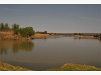
We had a full day of travelling ahead of us so we didn’t stay too long. Soon we were motoring along the dusty R64, an incredibly straight, featureless road connecting remote dots on the map like Campbell and Griquatown. Eventually our road met up with the Orange River again then, shortly after that, it joined the N10 at Groblershoop. A major artery, the N10 follows the Orange River all the way through the ‘Green Kalahari’ towns of Upington, Keimoes, and Kakamas to the turn-off to the Augrabies National Park.
Bill and I are well acquainted with and very fond of with this intriguing ‘Green Kalahari’ route, an extensively cultivated verdant ribbon that follows the river through otherwise bleak and arid land. Canals and water wheels dating from an earlier era are still put to good use, irrigating the land alongside the Orange and helping to transform the semi-desert into lush and productive fields and vineyards. The ‘Green Kalahari’ is renowned for the table grapes, raisins and wine although dried fruit is also a speciality of the region.
This area was once the Cape Colony’s wild northern frontier, the haunt of outlaws, outcasts, horse thieves and runaways, and beneath its present-day veneer of respectability is a slightly renegade soul. There is still something a little wild about the green Kalahari and its rugged surrounds.
Although the first part of our route had been a little monotonous, it started to get interesting again after Groblershoop. Hills and rocky koppies and some pretty little passes caused the road to deviate somewhat from the straight and narrow and we enjoyed the scenic drive
We needed to stock up with supplies so we headed for a shopping mall when we reached Upington, a town that started its life as a little mission station in 1873. Its early settlers were quick to recognise its agricultural potential and dug the first agricultural canals in the region. Some of them date back to 1880 but are still in use.
Upington is now a prosperous, substantial town, attractively situated on the Orange River, and it serves as the region’s prosperous commercial, agricultural and educational centre. We’ve often stayed there overnight or stopped to do business or shopping in the town and we’ve always found the townspeople particularly friendly and helpful.
Keimoes is the next dot on the map, a pretty, green watery town built on a network of Orange River islands. Then comes Kakamas, our ancient meeting place and still worth exploring if you have the time. The modern town was established under the auspices of the Dutch Reformed Church in 1898, as a poverty relief project. It was a bitter time for many people, hard hit by years of drought, global depression and the rinderpest scourge, and they were pleased to trade their labour for food. Men, women and children braved the fierce heat of that arid area – or worked at night to escape the heat – to dig, manually, the two canals that were eventually completed.
Not far out of town is an engineering marvel connected with this poverty relief scheme – two tunnels, both more than 100m in length, through which one of the canals is routed. Designed by a self-taught engineer, Japie Lutz, these were excavated by pick and shovel from either side of the hills – and the excavations met precisely in the middle. The gradient was perfect for their purpose, too, and these amazing water tunnels are still in use today.
Kakamas also once boasted the first hydro-electric scheme in South Africa, although its hydro-electric station is no longer working. You can still see it, though, a strange structure built to resemble an Egyptian temple.
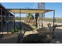
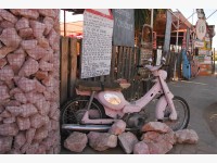
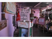
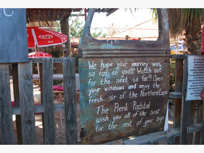
On previous visits we’d explored Kakamas and its surrounds pretty thoroughly but we still had quite a distance to go so we took a drive through the town, stocked up with some local wine at the town’s Orange River Cellars then stopped for a quick visit to the famous Pienk Padstal on its outskirts. It had grown and prospered since we’d first discovered more than a decade ago and had become a popular tourist attraction. A stop at this quirky, somewhat rosy little padstal is thoroughly recommended.
By then it was mid afternoon and we’d been on the road since early morning. Soon after the padstal we turned off the main road and followed the Orange River to the Augrabies National Park entrance. After booking in at the attractive reception area and admiring the stunning gardens there, we made our way to the camping area, such a green, well-treed oasis in this harsh rocky part of the world. It was a welcome sight. It didn’t take us long to set up a comfortable camp, our home-from-home for the next three wonderful days.