Warning: Level 4 thunderstorm alert issued for Pretoria on Tuesday
A Level 4 weather warning has been issued for Pretoria, with severe thunderstorms expected to bring heavy rain, hail, strong winds.
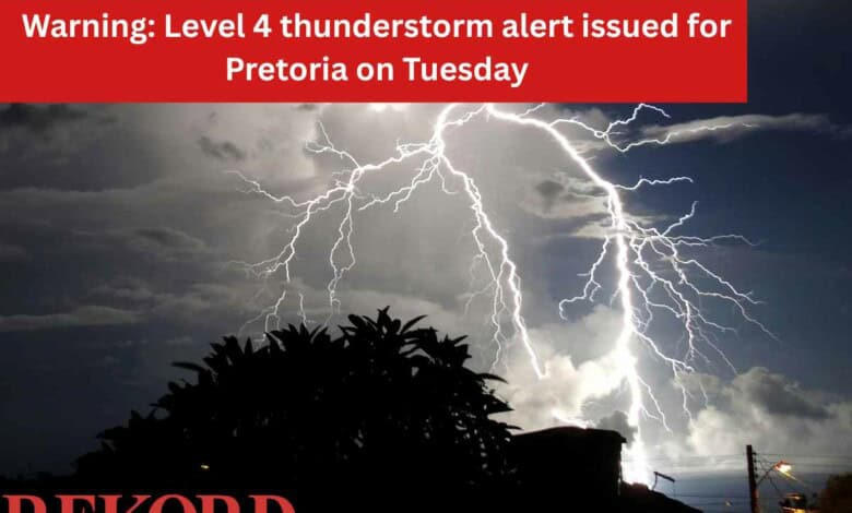
A Level 4 weather warning for severe thunderstorms has been issued for Pretoria for Tuesday, with residents urged to take precautions ahead of expected heavy rain, hail, strong winds and possible localised flooding.
The SA Weather Services (SAWS) issued a level 4 warning, which is in place until midnight on Tuesday.
Yellow level 4 (dark yellow) and Yellow level 2 warning for severe thunderstorms
— SA Weather Service (@SAWeatherServic) April 20, 2026
Area: Gauteng, Limpopo and Mpumalanga
Validity: 21 April 2026#saws #Warning #weatheroutlook pic.twitter.com/CVh58ggvTO
According to the City of Tshwane Emergency Services Department spokesperson, Nana Radebe-Kgiba, the impact of climate change during rainy seasons is known to disrupt normal weather systems, often resulting in periods of heavy rainfall, localised flooding, and severe thunderstorms.
“In Tshwane, these conditions have contributed to waterlogged roads, rising river levels, flash floods in low-lying areas, and an increased risk of weather-related incidents.
“Climate change continues to exacerbate these impacts, with rainfall events becoming more unpredictable and intense.
“Residents are urged to exercise caution, particularly during periods of heavy rain.”
Radebe-Kgiba furthermore said several areas within Tshwane are particularly vulnerable due to their proximity to rivers, streams, low-lying terrain, and stormwater systems.
These high-risk areas include, but are not limited to:
• Centurion: Areas along the Hennops River, Irene, Zwartkop, Eldoraigne, and Lyttelton
• Pretoria North and West: Low-lying areas and bridges – Apies River, including Wonderboom South, Hercules, and Rosslyn
• Mamelodi and Nellmapius: Informal settlements and flood-prone zones near natural drainage channels
• Soshanguve and Mabopane: Areas affected by overflowing stormwater
Potential impacts include:
• Heavy downpours that may cause localised flooding in low-lying areas, flat plains and flood-prone roads. • Large amounts of small hail, particularly over open areas.
• Damaging winds and excessive lightning that may result in structural damage or fires.
• Traffic disruptions due to flooded major roads.
• Minor to major vehicle accidents caused by reduced visibility and slippery road surfaces.
• Damage to houses or structures, including roof damage in both formal and informal settlements. Safety tips during severe thunderstorms:
• Stay indoors where possible and avoid contact with metal objects such as barbed wire fences and power lines that may attract lightning.
• Do not seek shelter under isolated trees or tall objects during thunderstorms.
• Avoid crossing flooded low-lying roads, bridges or swollen streams.
She added that the Emergency Services Department will continue to closely monitor weather developments and remain on high alert for any weather-related incidents.
“Residents are urged to stay informed by following short-term weather forecasts and heeding all alerts and warnings issued by the South African Weather Service. City of Tshwane Emergency Numbers: 107 toll-free or 012 358 6300/6400.”
Also read: Horrific multi-vehicle accident on Moloto Road leaves one dead, dozens injured
Do you have more information about the story?
Please send us an email to bennittb@rekord.co.za or phone us on 083 625 4114.
For free breaking and community news, visit Rekord’s websites: Rekord East
For more news and interesting articles, like Rekord on Facebook, follow us on Twitter or Instagram or TikTok or WhatsApp Channel.