
Severe weather hits SA: Floods, cold and snow expected
Wet, windy and icy weather from June 4 as Western and Eastern Cape brace for impact once again.
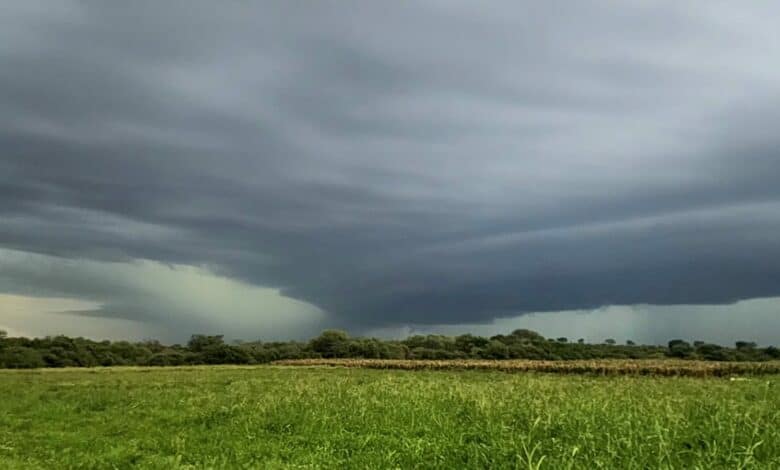
A cut-off low pressure system is expected to significantly affect the southern provinces of South Africa from Thursday, June 4.
According to the South African Weather Service (SAWS), parts of the Western and Eastern Cape -recently affected by a previous cut-off low system – are likely to remain vulnerable to a high risk of flooding.
“This weather system is expected to result in widespread, bitterly cold, wet, and windy conditions across several provinces, while light snowfall is expected over the higher mountain ranges of the Cape provinces and the Drakensberg,” SAWS said in a statement.
Weather forecast
Rainfall associated with the cut-off low is expected to become widespread from Wednesday into Thursday, particularly over the Garden Route District of the Western Cape, extending into the central and western parts of the Eastern Cape.
Many of these areas are still recovering from the impacts of the previous system.
Localised to significant flooding
According to SAWS, the anticipated rainfall may lead to localised to significant flooding in susceptible areas, including roads, bridges, low-lying settlements, and river crossings. Fast-flowing streams and rivers may pose a danger to life, while major transport routes could be affected by flooding and poor visibility.
In addition to rainfall, the weather system is expected to cause a significant drop in daytime temperatures across affected regions. Freezing levels in the lower atmosphere are forecast to drop sufficiently low to support light, non-disruptive snowfall over higher-lying terrain in the Cape provinces, the KwaZulu-Natal Drakensberg, as well as the Clarens area in the Free State.
While the current modelled snowfall accumulation suggests only light snowfall, travellers and communities in mountainous areas are advised to remain updated with forecasts issued by SAWS, as conditions may change with updated numerical weather prediction models. Snowfall is not expected to cause significant disruption over Van Reenen’s Pass on the N3 highway.
Public advisory:
- Monitor official weather updates and warnings issued by the South African Weather Service.
- Avoid unnecessary travel during periods of heavy rain and flooding.
- Never attempt to cross flooded roads, bridges, or swollen rivers.
- Secure loose outdoor objects that may be displaced by strong winds.
- Exercise caution along coastal areas and avoid fishing or recreational activities at sea during the warning period.
- Provide adequate shelter, warmth, and protection for livestock and pets.
- Prepare emergency kits, including flashlights, batteries, warm clothing, blankets, and essential supplies.
- Community leaders and disaster management authorities are urged to remain on high alert and activate contingency plans where necessary.
“Members of the public and stakeholders are strongly urged to regularly monitor official SAWS forecasts and warnings, as updates will be issued as the likelihood and severity of impacts become clearer. The public is also advised to remain cautious of unauthorised or unverified sources of information and to avoid sharing such information,” SAWS concluded.
For regular updates, visit https://www.weathersa.co.za/ or follow SAWS official media channels.