WEATHER UPDATE: Will it snow? Weather services predicts a cold start for the week
Snowfalls are expected over most of Lesotho, southern Drakenberg in the Eastern Cape with heavy snowfall expected over the Eastern Drakensberg.
Storm Report SA has issued a preliminary snowfall forecast for Tuesday, November 14 until Thursday, November 16.
The statement read as follows:
“A steep upper air trough that could possibly cut-off could form over KwaZulu-Natal and the Eastern Cape on Tuesday. This system will bring moderate to heavy rain over the Eastern Cape and KZN from Tuesday evening as well as snowfall over the Drakensberg.”
Yes you are reading this post right! This is our preliminary snowfall forecast for Tuesday 14 November 2017 – Thursday 16 November 2017. pic.twitter.com/ata08xZWMq
— Storm Report SA (@StormReportSA1) November 12, 2017
“Snowfalls are expected over most of Lesotho, southern Drakenberg in the Eastern Cape with heavy snowfall expected over the Eastern Drakensberg.”
The service also reported a drop in temperature is expected for most parts of the country from Tuesday afternoon.
ALSO READ: ALERT: Cyclone Dineo set to strike South Africa tomorrow
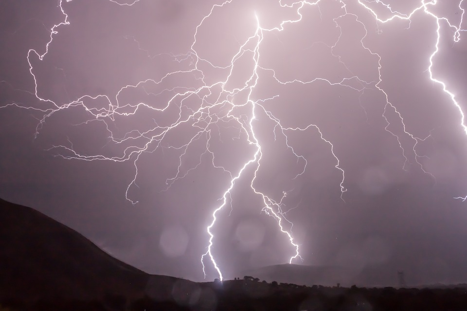
The South African Weather Service (SAWS) also tweeted a warning of thunderstorms experienced over Western KZN moving eastwards.
Warning: 14-16h00: Severe thunderstorms observed over the south western KZN (Harry Gwala and UMgungundlovu DM), moving eastwards.
— SA Weather Service (@SAWeatherServic) November 13, 2017
Forecasts are subject to change.
Remember to visit our Facebook, Twitter and Instagram pages.
Add us on WhatsApp today! 082 874 5550

and BBM pin D1EF333B.

You can also email our offices on Reveshni Douglas at reveshni@caxton.co.za Quinton Boucher at newsun@caxton.co.za Bruce Douglas at Newed2@caxton.co.za Tersia Gopi at newed@caxton.co.za Zianne Leibrandt at ncschools@caxton.co.za