Snow Warning: Snow predicted to fall this week
You can expect a drop in the scorching temperatures currently being experienced, as the first snowflakes begin to fall
According to Snow Report, winter is not over yet… Yes, weather data suggests that the biggest snowfall of the season is on its way this week.
You can expect a drop in the scorching temperatures currently being experienced, as the first snowflakes fall.
Snow will possibly fall during the early hours of Wednesday morning in the area of the Eastern Cape.
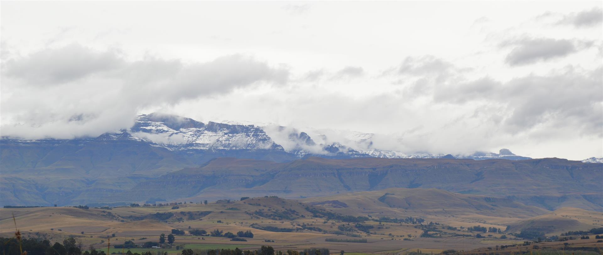
By midday on Wednesday, snow is expected along the Eastern Cape Drakensberg, the Southern Drakensberg and into the central high Drakensberg.
During Wednesday afternoon, snow will also fall on the Maluti Mountains around AfriSki and into the eastern parts of Lesotho.
During Wednesday night and into Thursday morning, expect temperatures to drop even further, with snowfalls of increasing intensity over the Eastern Cape Drakensberg, the Southern KZN Drakensberg, as well as central and northern Drakensberg.
Read also:Snow Warning: Snow expected in parts of KZN
Also read:Snow has fallen in areas surrounding Ladysmith
During this time, heavy falls are also expected in the central and eastern parts of Lesotho, and there is a chance of some light falls in the Matatielle area, as well as in the Underberg / Himeville area.
According to weather data, the heaviest snowfalls will be during Thursday morning, with significant snow possible from the Malutis in the north of Lesotho, right down through the northern Drakensberg, central and southern Drakensberg, the Eastern Cape Drakensberg, as well as central and eastern Lesotho.
Snowfalls seem likely to continue right through Thursday afternoon and into early evening in these areas.
By Friday morning, all snow should cease, with clear skies expected.
Click to receive news links via WhatsApp. Or for the latest news, visit our webpage or follow us on Facebook and Twitter. Join us there!