
El Nino – a truculent Christmas Child…?
According to meteorological sources, it is already the second strongest El Nino on record
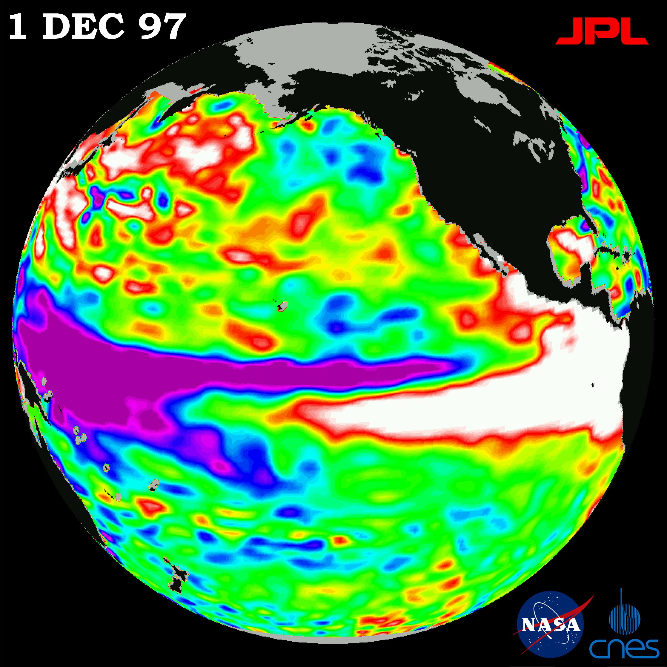
The current drought, the worst in 83 years says farmers, has been blamed on El Nino – (The Child).
El Nino, a climatological anomaly that had first been observed by South American fishermen, occurs when winds over the Equatorial Pacific start to weaken, taking the brakes off a warm patch of water that is normally pushed into one area of ocean near Australia.
When this happens, sea surface temperatures start to rise, and at this very moment it is already 2 to 3 degrees Celcius above normal.
According to meteorological sources, it is already the second strongest El Nino on record, and will probably continue to strengthen towards the end of this year.
The water then heads east, towards the Americas, where it warms more of the Pacific. It also starts warming the atmosphere.
This then has a knock-on effect on local weather systems across the planet – generally warming the planet and leading to less rainfall in the southern hemisphere and more in the northern hemisphere.
It will lead to a stunted summer rainfall that will hold a particular risk factor for provinces like KZN and the Orange Free State as we have already seen. It does not always hold true, as the rainfall events of 1997-98 have indicated.
It remains to be seen if the rainfall predictions for KZN will change, but there is always hope.