Pretoria braces as weekend storm warnings upgraded to Level 5
Pretoria residents are urged to prepare for a stormy weekend after weather warnings were escalated to Orange Level 5.
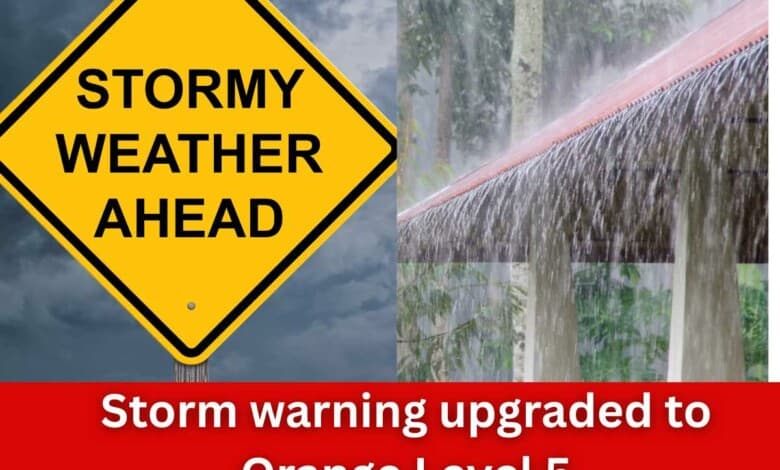
The South African Weather Service (SAWS) has upgraded its forecast for Pretoria and surrounding areas, warning of severe thunderstorms and heavy rain from Saturday through Sunday. The Orange Level 5 warning signals a high risk of flooding, hail, strong winds and lightning, with rainfall totals that could exceed 150 mm in parts of Gauteng.
Officials have urged motorists to stay off flooded roads and residents to secure outdoor items and remain indoors during storms. Conditions are expected to persist across much of Gauteng into Sunday, affecting both Pretoria and Centurion.
While exact rainfall totals for the Pretoria region have not yet been confirmed, the South African Weather Service is warning of 30–50 mm or more expected across Gauteng from Saturday, with local peaks possibly reaching around 100 mm. Recent flash-flood reports from areas such as Centurion show how vulnerable low-lying zones and river corridors are becoming.
Motorists are urged to avoid major flood-prone routes such as the N1/N4 axis and stream-crossing roads in Centurion and the eastern suburbs, where warnings of road closures and rapid water rise have already been flagged.
Here’s are the suburbs and roads in the Pretoria/Centurion area to watch closely this weekend due to flood-risk, based on past incident reports and known low-lying zones:
- Suburbs along the Hennops River corridor in Centurion: e.g. Lenchen North & South, Blackwood, Witstinkhout, West.
- Low-lying roads in Centurion: M19 (Centurion) at Die Hoewes, roads near the hotel by the river that were cut off.
- Key routes in Centurion affected by flash flooding: R101 / Lenchen Avenue area, access roads to Centurion Lake Hotel and around the Hennops overflow.
- Suburbs in northern Pretoria: Capital Park (near the Apies River) — flagged as being monitored for flooding.
- Additional low-lying zones: Pretoria West and parts of the inner metro with inadequate drainage in heavy downpours.
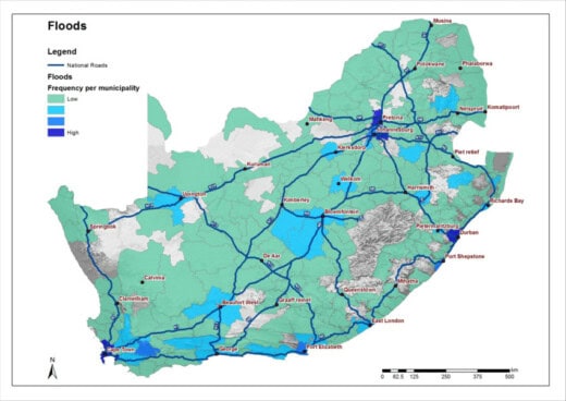
The City of Tshwane said it has identified high-risk areas across all regions.
The Emergency Services Department will remain on high alert and continuously monitor identified flooding hotspots throughout the period. Potential impacts of severe thunderstorms include:
• Heavy downpours that may lead to localised flooding, especially in low-lying areas, flat plains and flood-prone roads.
• Large amounts of small hail over open areas.
• Damaging winds and excessive lightning, which may cause structural damage or fires.
• Traffic disruptions due to flooded major roads.
• Minor to major vehicle accidents resulting from poor visibility and slippery roads.
Damage to houses or structures, particularly roof damage in both formal and informal settlements.
• Danger to life caused by fast-flowing streams and rivers.
Residents are urged to observe the following safety precautions:
• Avoid metal objects that conduct electricity, such as barbed-wire fences or power lines.
• When outdoors, immediately move away from lakes, ponds or any large bodies of water during lightning activity.
• Do not seek shelter under isolated trees or tall objects during thunderstorms.
• Avoid crossing flooded roads, bridges or swollen streams.
• If trapped in a vehicle during flooding, abandon the vehicle and move to higher ground.
“Residents are encouraged to stay informed by monitoring short-term weather forecasts and any warnings or alerts issued by the South African Weather Service.”
The Emergency Services Department further urges the public to remain vigilant and to report any fire or rescue incidents immediately by calling 107 (toll-free) or 012 358 6300 / 6400.