Earthquake hits Krugersdorp – experts explain
Krugersdorp gets hit by an earthquake and possibly can expect another.
Residents took to social media to share their experiences shortly after an earth tremor hit Krugersdorp and a large part of Johannesburg on Monday 18 November.
Some labelled it as seismic activity and #Joburg tremor even trended on social media platforms, but according to Michelle Grobbelaar, Manager of the Council for Geoscience, those who felt the movement confidently can say that they experienced an earthquake.
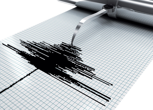
The quake measured at four on the Richter scale with minor damage recorded on the West Rand.
“We were told that windows cracked in certain residential areas and that a ceiling at a shopping mall caved in, but no lives were lost,” says Grobbelaar.
She explains that the extend of damage depends on the strength of the affected structures, the geology or ground beneath a structure and the distance from the epicentre of the quake, which in this case was just south west of the University of Johannesburg.
Although studies can’t yet back their notion Grobbelaar says that the Council for Geoscience staff have a strong suspicion that increased water flow into abandoned mines might have caused the movement in the Earth’s crust.
“The earth naturally produces water but in order to mine, mining companies in the past extracted water from the crust of the Earth. When mining stopped, extraction stopped and the Earth once again started its natural processes to produce water, thereby increasing ground water levels – this can cause movement in the crust.
“We do not have any data to confirm it but we have a sneaky suspicion that it might have been the cause since we have been monitoring the area for a couple of years,” she says.
She says a rule of thumb is that areas affected by quakes can expect more to follow.
Federation for a Sustainable Environment’s statement on Joburg tremor
The NEWS approached Federation for a Sustainable Environment CEO Mariette Liefferink who released the following statement on the incident:
A seismic monitoring programme has confirmed an increased frequency of earth tremors in the Central Basin following the cessation of pumping by East Rand Proprietary Mines (ERPM ) in October 2008.
This has established a clear cause-and-effect relationship between seismic activity and mine flooding.
Although the magnitude of these events is unlikely to exceed those that characterised the Witwatersrand during the phase of active and extensive mining, risk analysis suggests that the probability of slightly larger magnitude events occurring cannot be ignored.
Whilst the monitoring of seismicity associated with the flooding of the Central Basin cannot prevent the events from occurring, it is important to continue with this activity in the short to medium term in order to gather information and data on the frequency of occurrence and size and location of the events.
This is especially important for identifying whether the events are restricted to the immediate surroundings of the mining areas, or whether they are propagating away from the flooding mine, implying that geological structures at some distance from the mining areas are at risk of being activated.
The information gathered over time would also be useful for micro zonation studies. This would highlight the changes in seismic risk that the infrastructure within urban areas surrounding the Central Basin would be exposed to.
Unfortunately impact studies have been halted by the department of waterworks and environmental studies and despite clear indications, the cause cannot be fully determined by studies.