
What’s up with the weather? Why South Africa is experiencing such odd summer weather
A weather expert breaks down how climate change intensifies storms, why ‘artificial rain’ is not responsible and what a weak La Niña means for a wet, cool summer.
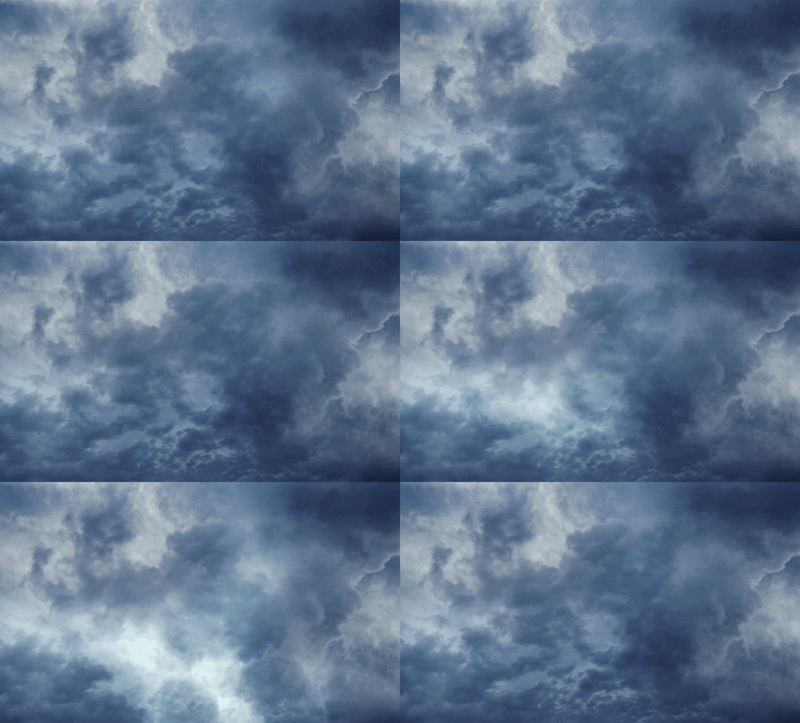
Is the weather acting Is the weather acting up? This question has been raised several times in the past few weeks, following excessive rain, hail and storms in parts of the country.
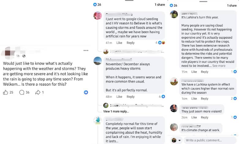
Some people have suggested that cloud seeding or ‘artificial rain’ could be influencing current weather patterns, prompting Caxton Network News to reach out to South African Weather Service (SAWS) meteorologist Lehlohonolo Thobela.
Cloud seeding is a weather modification technique – often involving the introduction of tiny ice nuclei into subfreezing clouds – that improves a cloud’s ability to produce rain or snow, according to the DRI Foundation.
Thobela explains there is no evidence that cloud seeding is influencing current weather patterns. South Africa currently does not conduct any operational cloud-seeding programmes, he says, and there are no large-scale weather-modification projects underway that could alter rainfall or storm behaviour.
“Cloud seeding is sometimes used globally in very specific cases to enhance rainfall or reduce hail, but even then, its effects are local, temporary and limited. It cannot create storms, shift major weather systems or cause wide-scale flooding or heatwaves,” Thobela notes. The extreme weather being experienced is the result of natural atmospheric processes, he says, which are often intensified by climate variability and change, not artificial rainmaking.
Climate change and global warming, but…
While cloud seeding isn’t influencing current conditions, Thobela confirms that climate change and global warming are the major drivers behind the shifts we are seeing – a trend mirrored worldwide.
However, Thobela notes that individual severe weather events cannot be directly attributed to climate change, which is assessed over long-term trends spanning about 30 years or more.
Rising temperatures are altering rainfall behaviour, intensifying heatwaves, changing storm dynamics and increasing the frequency of extreme events.
Thobela explains that these alterations are caused by a fundamental physical process. He breaks down how increasing temperatures intensify extreme weather in three ways:
1. More intense thunderstorms
Warmer air holds more moisture. This means storms have more energy, stronger updrafts, increased lightning and a higher chance of producing hail, damaging winds and flash floods. He says this is why many convective systems in Gauteng, KZN, Limpopo and Mpumalanga are now more explosive.
2. Heavier rainfall events
When a warm atmosphere is loaded with more water vapour, rainfall becomes more intense when it finally falls. This increases localised flooding, river flooding and damaging run-off, especially in urban areas. South Africa has already experienced several such events in recent years.
3. Longer and more severe heatwaves
Higher baseline temperatures mean that heatwaves arrive earlier, last longer and become more dangerous. “This also dries out soils and vegetation, worsening drought conditions, especially over the south-western interior of the country as well as the extreme northern parts of Limpopo.”
Where’s the gloom coming from?
So what is causing the current gloomy and rainy weather during what should be a typically hot, sunny summer season?
Thobela says that enhanced tropical moisture inflow from the Indian Ocean, frequent convective activity triggered by the moist, unstable atmosphere and a persistent upper-air circulation pattern that supports widespread rainfall and reduces surface heating collectively limit sunshine duration and result in lower daytime temperatures.
South Africa is currently in a neutral El Niño-Southern Oscillation phase: The phases that describe the natural climate shifts in the tropical Pacific, cycling between El Niño (warm phase), La Niña (cool phase) and a neutral state. Thobela says global forecasts indicate a transition toward a weak La Niña during the summer months, with confidence growing in this shift as we approach mid-summer.
In history, La Niña events tend to bring wetter-than-usual conditions to the eastern and central parts of South Africa. Due to the current seasonal forecast, it is quite normal that we start to experience this type of weather during the transitioning season, which is in favour of the La Niña season.
South Africa’s 2025/26 summer is shaping up to be a wet, humid and cloudy one, especially across the eastern regions. As a weak La Niña begins to take hold, Thobela confirms the seasonal forecast suggests above-normal rainfall, warmer nights, and milder daytime highs due to persistent cloud cover.
Outlook
- Above-normal rainfall is projected for most summer rainfall regions, particularly the eastern interior (Free State, North West, Gauteng, KZN, Mpumalanga, eastern half of the Eastern Cape and the southern parts of Limpopo).
- These wetter conditions may benefit agriculture and water resources, but also raise flood risks in low-lying or flood-prone areas.
- Minimum temperatures are expected to be above normal across much of the country.
- Maximum temperatures are expected to be below normal this summer.
- The cooler daytime highs are largely due to prolonged cloud cover and increased humidity, both typical of a La Niña-dominated summer.
Sector implications
Thobela mentions that this impacts the agriculture sector as the outlook is favourable for crops and grazing due to expected good rainfall, but farmers should ensure proper drainage and soil conservation.
Breaking news at your fingertips… Follow Caxton Network News on Facebook and join our WhatsApp channel.
Nuus wat saakmaak. Volg Caxton Netwerk-nuus op Facebook en sluit aan by ons WhatsApp-kanaal.
Read original story on www.citizen.co.za