WATCH: Wrap up warmly for an icy weekend
A 'monster' cold front is expected to bring plummeting temperatures and widespread snow.
South Africans in large parts of the country can expect a bitterly cold end to the weekend and early part of next week as an ‘icy blast’ and cold front will bring widespread snow and plummeting temperatures.
While northern KwaZulu-Natal will not experience any of the ‘white stuff’, snow is expected on the Drakensberg’s Sani Pass and into Lesotho, as well as other inland areas of the province, including the Midlands.
As temperatures start their downward spiral on Sunday, Monday is set to be the coldest day of the year so far, reaching a high of just 16 degrees in Richards Bay, 14 in Empangeni and Hluhluwe, a biting 10 degrees in eShowe, 15 with rain in Mtubatuba, and 14 in Pongola.
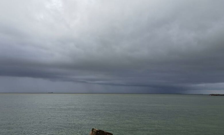
Sunday is also expected to be cold and wet across the region.
Responsible for this proper winter weather is a large cold front making its way across the Atlantic, set to hit the Western Cape on this afternoon.
Zululand’s Friday and Saturday weather will be balmy as the warm front precedes this ‘monster’ cold front.
Behind the cold front is an icy blast of sub-polar air, which will make its way across the country over the weekend.
Snow is expected in the Western Cape tomorrow, spreading into the Eastern Cape and KZN on Sunday and Monday.
Heavy snow is expected in Ermelo and Dulstroom in Mpumalanga.
Read original story on zululandobserver.co.za