
Severe thunderstorms and hail are expected in parts of Gauteng.
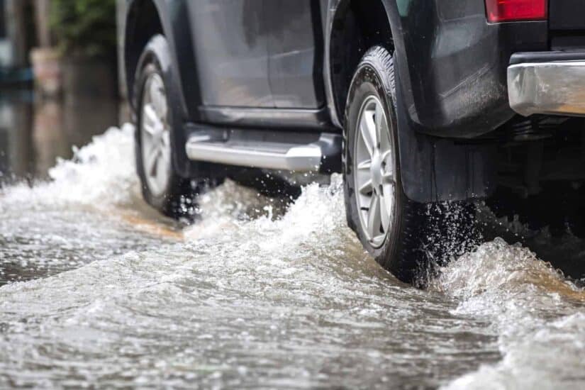
Motorists have been urged to take precautions while driving. Picture: iStock


The City of Johannesburg’s Emergency Services remain on high alert following a level 2 alert for severe thunderstorms issued by the South African Weather Service (Saws).
Severe thunderstorms and hail are expected in parts of Gauteng, the North West and Limpopo on Wednesday, with strong coastal winds set to cause disruptions in the Eastern Cape.
Weather warning
The weather service warned of heavy downpours, strong damaging winds, hail, and excessive lightning, resulting in flooding and possible damage to settlements and infrastructure.
Gauteng
Damaging winds could damage settlements, disrupt beachfront activities and make navigation difficult in the Nelson Mandela Bay, Buffalo City, Ndlambe, Nqgushwa and Sunday’s River Valley Municipalities in the Eastern Cape.
Gauteng will be cloudy and cold with scattered showers and thundershowers.
Precautions
Residents have been urged to avoid crossing flooded roads and bridges, and to seek shelter during thunderstorms.
Motorists have been urged to reduce speed, take extra care, keep their headlights on, and maintain following distances.
High alert
City of Johannesburg Emergency Management Services spokesperson Kagiso Pasha said they are monitoring the current adverse weather conditions.
“Our specialised rescue unit remains ready to respond to any water-related emergencies. Motorists and pedestrians are asked to exercise caution, avoid flooded areas, and seek shelter during thunderstorms.
“Please also take extra care around lightning and avoid open spaces and isolated trees. In an emergency, you can contact the city’s command and control centre on 0113755911.
El Niño
While the thunderstorms may be short-lived, much warmer temperatures are expected across the country.
South Africa is bracing for one of the most powerful El Niño events on record, with scientists warning of soaring temperatures, below‑normal rainfall, and mounting threats to agriculture, health, and disaster management.