
Radar will help plan for disasters
Its strategic placement is expected to improve the weather service's ability to provide warnings to disaster management structures.
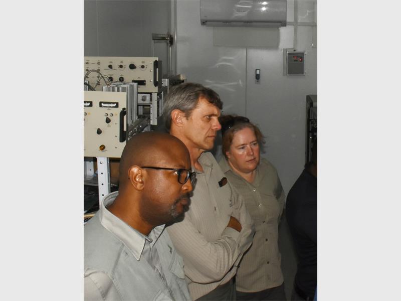
A breakthrough in the early detection of floods has been made and could ultimately save lives in the Kruger National Park (KNP).
Widespread flooding in the park is known to hit without warning, wreaking havoc as often more than 500 millimetres gush down in 24 hours.
A new weather surveillance radar system established near Skukuza in the KNP will, however, in future not only supply information to save human lives, but will also aid park management in taking the necessary precautions to safeguard equipment and manage the consequences of possible flooding.
The South African Weather Service (SAWS) launched the new weather radar in collaboration with SANParks at a site near the Skukuza airport on Wednesday, August 14. It replaces an outdated system that was previously in operation.
General water provision, food security and sustainable development in the country can also be aided by knowledge about natural disasters like cyclones, thunderstorms and even severe droughts, all driven by climate change. It will provide information for spatial rainfall measurements, storm tracking and prediction, flood warnings and more.
It will also aid aviation safety and research in weather phenomena.
At the launch Rudzani Malala, regional manager of the SAWS, said the site lends itself perfectly as home to this strategic set of equipment, since it is protected by “the Big Five itself” while extending current services to Mpumalanga, Limpopo, parts of Mozambique and the kingdom of eSwatini.
The system complements three similar ones in the Gauteng/Mpumalanga region, with the others established at Irene, Ermelo and Polokwane.
The presence of the radar in the KNP was also welcomed by Danie Pienaar, head of scientific services in the park, since climate change impacts many activities and circumstances in the conservation area. He said not only have they kept rainfall records since 1910, such data allows them to detect and interpret trends to which management can adaptively react. He said the flood damage in the park during the 2012 floods alone was valued at R75 million.
A weather surveillance radar like this detects and tracks the movement of objects such as clouds, their direction, distance and speed, as well as the presence of precipitation like rain, snow and hail.
The reach of this one spans about a 200-kilometre radius. Although its availability will not prevent severe storms from happening, its strategic placement is expected to improve the weather service’s ability to provide warnings to disaster management structures and communities in the relevant areas.