Disaster-level rainfall alert as SAWS activates level 10 warning
The South African Weather Service has issued a red level 10 warning for disruptive rain across parts of Limpopo and Mpumalanga
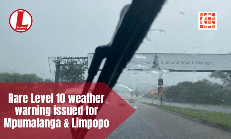
The South African Weather Service (SAWS) has issued a red level 10 impact-based warning for disruptive rainfall, valid from January 15 to January 16. This is the highest level of alert, underscoring the extreme danger posed by the ongoing weather system.
The warning covers several municipalities across Limpopo and Mpumalanga, including Ba-Phalaborwa, Bushbuckridge, Greater Giyani, Greater Letaba, Greater Tzaneen, Maruleng, Mbombela and Barberton, Nkomazi, Thaba Chweu and Collins Chabane.
The situation is already severe. Over the past several days, rainfall accumulation maps have shown widespread falls of hundreds of millimetres in some areas. Persistent downpours have saturated soils, filled catchments and caused rivers and dams to overflow.
Dam levels in the Lowveld as of January 12:
• Blyde River – 106.06%
• Driekoppies – 103.71%
• Witklip – 103.12%
• Kwena – 101.59%
• Inyaka – 101.25%
• Vygeboom – 100.43%
• Da Gama – 97.43%.
The White River Conservation Board announced the closures of Klipkopjes, Primkop and Longmere dams, all of which are overflowing.
Communities in Maruleng, Ba-Phalaborwa, Bushbuckridge, Nkomazi and Mbombela have already experienced repeated flooding, with homes damaged, roads cut off and families displaced.
• The D2296 between Karino and Tekwane South is closed after a culvert collapsed on January 12.
• The R40 near Bushbuckridge/Dwarsloop has collapsed on both sides, forcing single-lane traffic.
• The bridge near Klipkopjes Dam has started to give way, despite recent repairs.
ALSO READ: New collapse threatens R40m Klipkopjes Dam road repairs
Now, more rain is on the way. Forecast guidance indicates that an additional 100 to 200 millimetres could fall over the next 24 to 48 hours, particularly affecting the same areas already hardest hit.
With the ground unable to absorb further water, the risk of widespread flooding remains critically high. Authorities warn of danger to life from fast-flowing rivers and streams, flooding of roads, bridges and low-lying crossings, and widespread damage to property, settlements and critical infrastructure. Essential services are also under threat, with communities facing prolonged isolation and disruption.
SAWS stresses that this red level 10 warning will remain in place while conditions continue to pose a severe risk to life, livelihoods and infrastructure. Residents are urged to take immediate precautions:
• Avoid crossing flooded roads, bridges and rivers.
• Move to higher ground if flooding occurs.
• Follow instructions from local authorities and disaster management teams.
In homes, valuables should be moved above expected flood levels and electricity should be switched off at the supply point in case of emergency. Farmers in low-lying areas are encouraged to relocate animals to higher ground, and evacuation orders must be followed without delay.
Also read: Heavy rains force school closures in Bushbuckridge
There is some hope on the horizon. Weather conditions are expected to gradually improve from around 19 January, when only a 30% chance of showers and thundershowers is forecast. More stable conditions are likely from January 20 onwards, allowing river levels and saturated soils to slowly recede.
Until then, however, the risk remains high, and vigilance is essential.SAWS continues to monitor the evolving situation closely and will provide updated forecasts and warnings as necessary. Members of the public are strongly urged to rely only on official SAWS channels for information and to avoid sharing unverified reports.