
Tropical Cyclone Freddy on possible course for Lowveld
The worst rains and floods started in Mpumalanga two weeks ago, however, 10 people have drowned since the beginning of February.
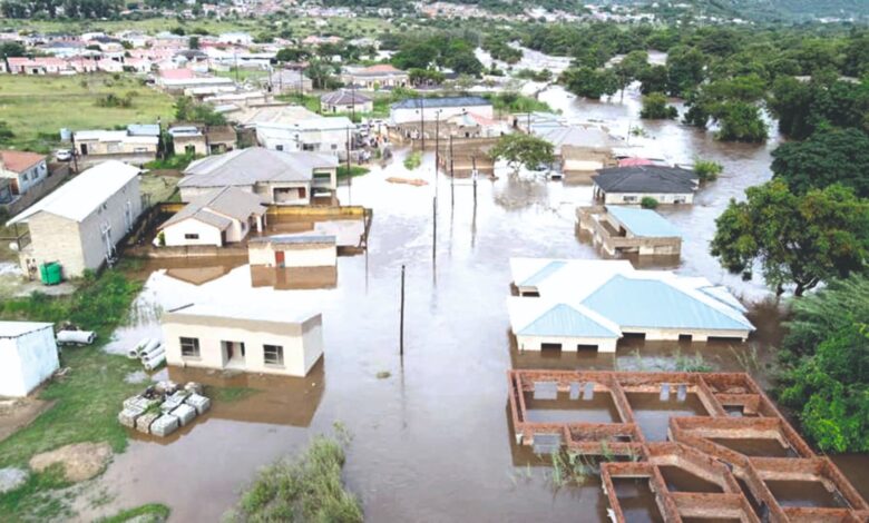
With widespread damage to the tune of R300m following the recent floods, fears are mounting as more rain is expected with Freddy’s approach.
While accurate and timely predictions of tropical cyclone systems are typically uncertain, the South African Weather Service (Saws) expects Tropical Cyclone Freddy could bring 200mm to 400mm of rainfall to the Lowveld and escarpment areas of Limpopo and Mpumalanga from early Saturday, February 25, until next Monday.
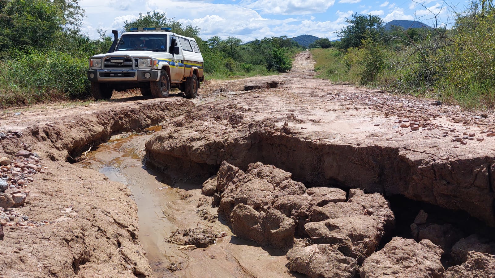
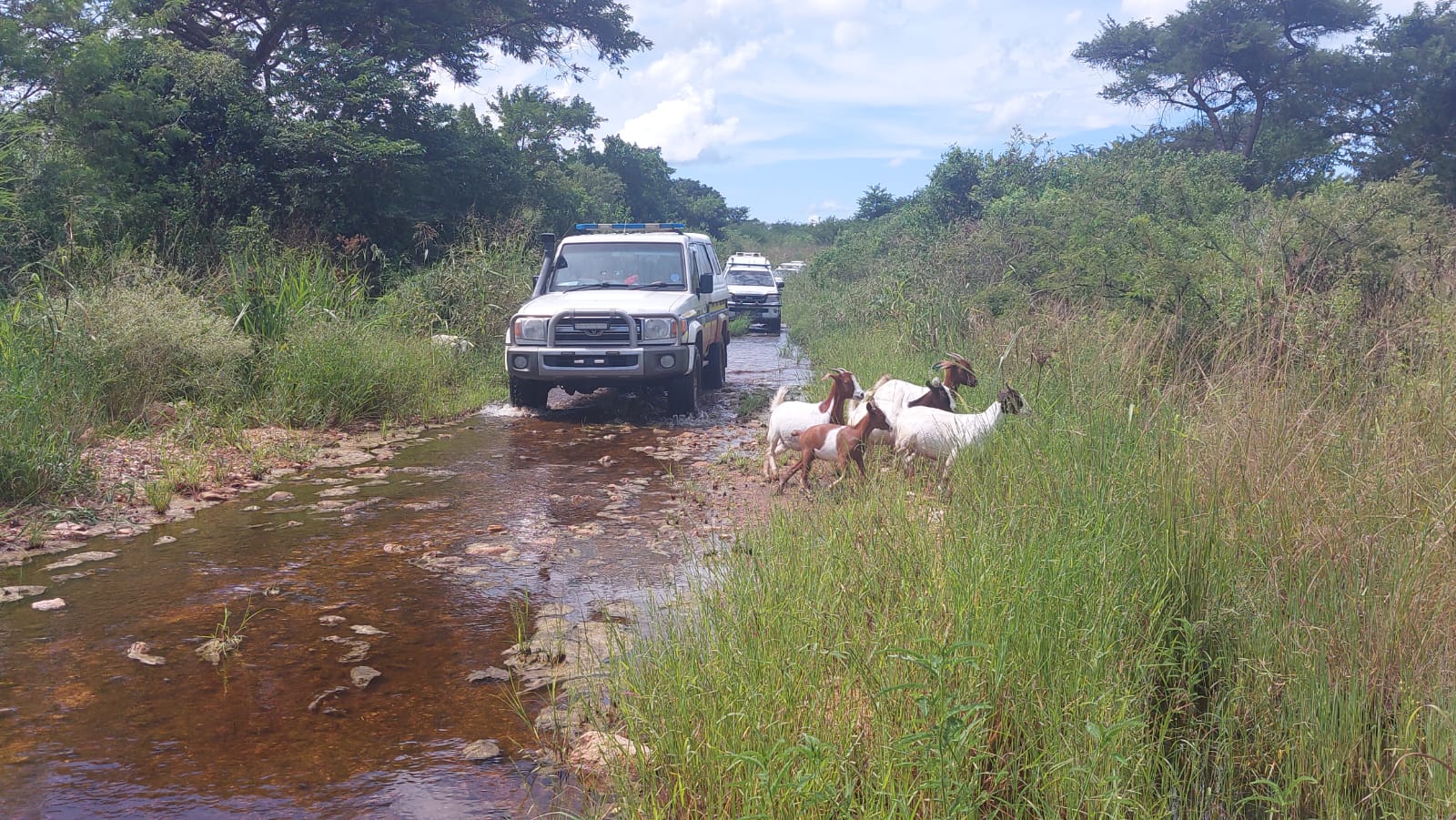
The province is still reeling from the heavy downpours and flooding, and severely damaged schools, healthcare facilities, houses, roads that bridges across the Ehlanzeni region.
ALSO READ: Man accused of killing Nelspruit deputy sheriff to appear in court
The worst rains and floods started on February 8, and according to the MEC for the Department of Co-operative Governance and Traditional Affairs, Mandla Msibi, the damage is estimated to be R300m.
A contributing cause to the destruction was said to be the violation of spatial laws, poor infrastructure and communities residing in low-lying areas within the proximity of rivers and dams. Premier Refilwe Mtshweni-Tsipane said the above had ultimately contributed to waterlogged houses, displacement of families and fatalities.
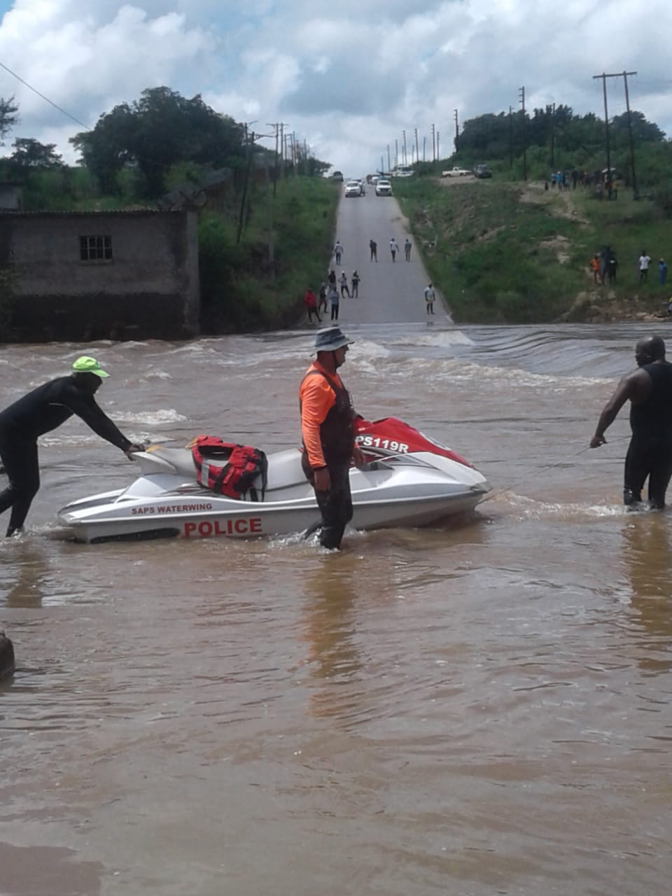
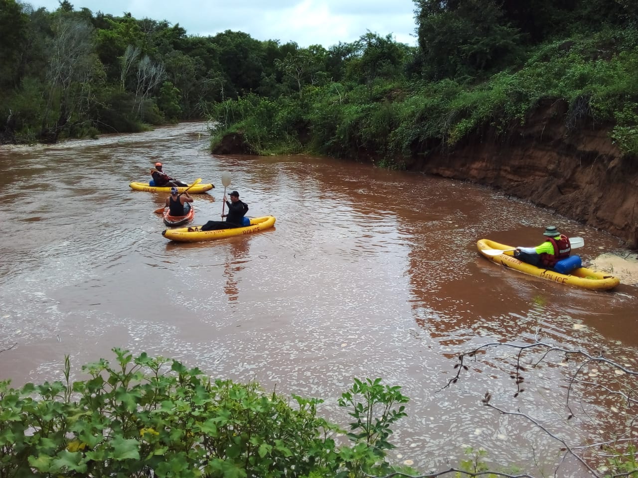
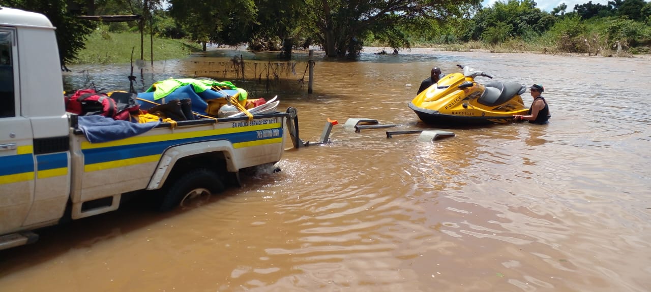
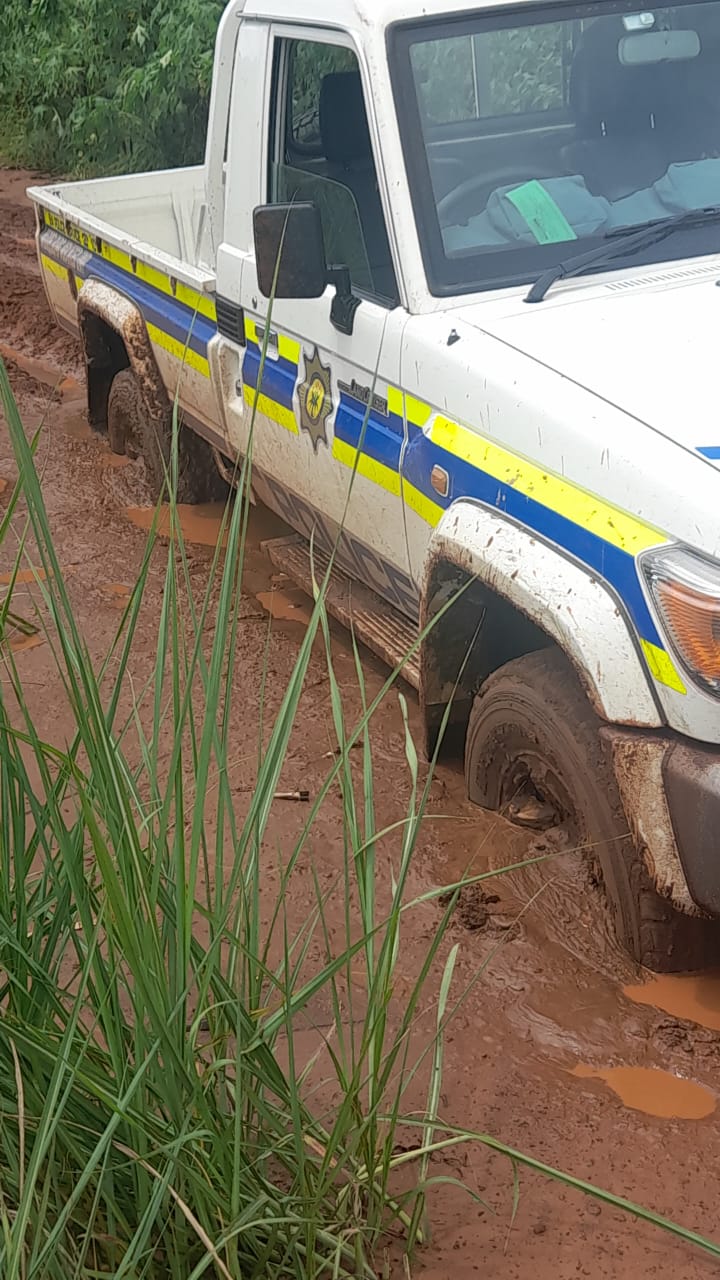
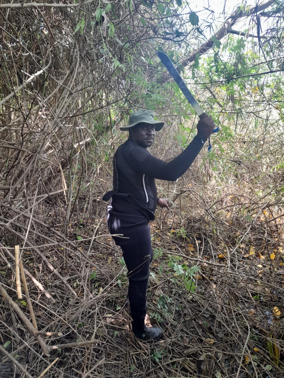
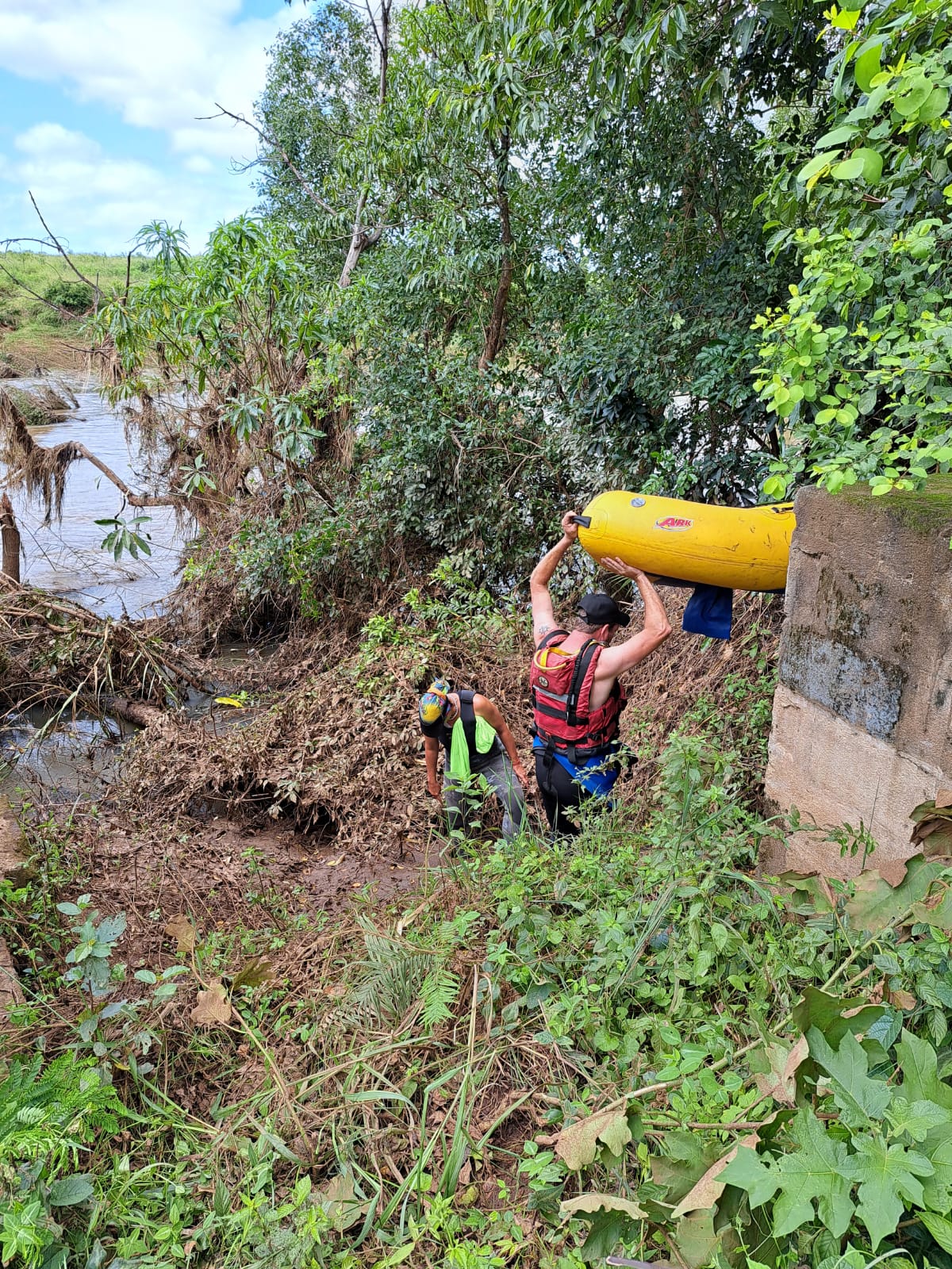
Since February 3, 10 people have lost their lives due to drowning. The Ehlanzeni Police Diving Unit is still working in flooded areas to try and find and recover four bodies.
Meanwhile, Freddy made landfall along the eastern coastline of Madagascar, just north of Mananjary, at about 19:30 on Tuesday. Saws said in a statement that the storm was a low-end category 2 tropical cyclone just before making landfall, with winds of 150km/h and gusts up to 180km/h. It weakened significantly due to the terrain and was downgraded to an overland depression.
The World Meteorological Organisation’s designated Regional Specialised Meteorological Centre, located on La Réunion, forecasted that the storm will continue in a west-south-westerly direction over the next few days, and that it would regain its strength on Wednesday as it moved into the Mozambican Channel.
Saws said it may yet reach near tropical cyclone status by Thursday evening while heading to southern Mozambique.
Lowvelder will continue to update its readers of the regular information it receives from Saws, as the weather service closely monitors the situation.