Temperatures drop after stormy Tuesday
Residents can expect rain early in the week and sunshine towards the weekend.
Residents can expect a mix of thundershowers and sunshine over the coming days, with a hot start to the week before cooler, crisp mornings set in.
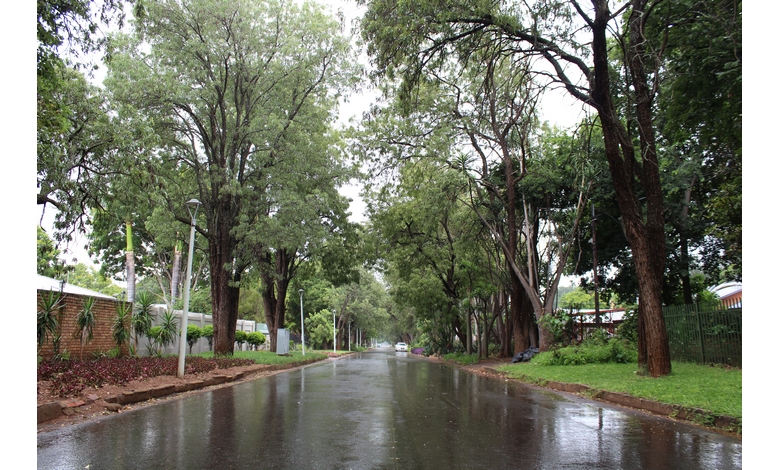
Tuesday brings heat and cloud cover, with temperatures climbing to around 30°C. Conditions are expected to change later in the day, with a 100% chance of rain and thunderstorms forecast for the evening. A few lingering thundershowers may persist into the night, while temperatures drop to 13°C.
By Wednesday, a scattered morning shower is likely in some areas, followed by a gradual clearing trend. Sunshine is expected to return later in the day after a cloudy start. Temperatures will be noticeably cooler, peaking at 20°C, while the evening turns particularly cold with a minimum of just 5°C.
From Thursday onwards, the weather stabilises, bringing mostly sunny and pleasant conditions. Daytime temperatures will hover around 21°C, but nights remain chilly, dipping to around 6°C under clear skies.
Friday continues in much the same way, with abundant sunshine and a high of 21°C. Clear, cold conditions will dominate overnight, with temperatures again falling to about 5°C.
A beautiful and mostly sunny Saturday is on the cards, with temperatures reaching 22°C and a milder low of 8°C.
However, the calm conditions may not last. Sunday should start with sunshine and patches of high cloud, but cloud cover is expected to build through the afternoon. There is a 55% chance of rain, with a possible thunderstorm developing later in the day. Temperatures will warm up again, reaching a high of 27°C before dropping to 12°C overnight.
Residents are advised to prepare for changing conditions early in the week and to keep warm during the notably colder nights ahead.