Brace for impact: Cut-off low to drench SA with severe weather
SAWS and SWAISCA warn of heavy rain, snow, strong winds and severe storms as a slow-moving system crosses SA from May 5 to 7.
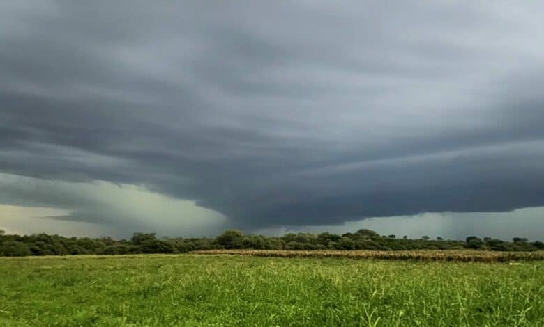
An intense cut-off low-pressure system is expected to affect parts of South Africa from Tuesday to Thursday, May 5 to 7.
The South African Weather Service (SAWS) has warned of an approaching period of cold, wet and windy conditions that will impact large parts of the country.
The system is expected to make landfall over the western parts of South Africa from Tuesday morning, initially affecting the Western Cape, Northern Cape and Eastern Cape. It will then spread eastward across the central and eastern interior from Tuesday afternoon into Wednesday morning.
“A cut-off low is a slow-moving or stationary weather system that can result in prolonged severe weather over one area,” SAWS said.
Isolated to scattered showers and thundershowers are expected over the central and western interior on Monday, May 4, with more widespread rainfall developing along the south-west coast.
There is also a high likelihood of severe thunderstorms over the interior and eastern parts of the Eastern Cape from Tuesday afternoon.
“These may result in heavy downpours, localised flooding, damaging winds, hail and excessive lightning.”
Expected impacts
Significant weather-related impacts are expected along parts of the Eastern Cape coastline and adjacent interior on Tuesday and Wednesday, May 5 to 6, as well as over the eastern parts of the Western Cape from Tuesday afternoon through to Thursday, May 7.
Widespread rainfall is forecast over the Western Cape and Eastern Cape, extending into the Free State, with 24-hour rainfall totals possibly exceeding 100 to 200mm in some areas. This may lead to severe flooding.
Damaging winds and very rough sea conditions are also expected, particularly along the south coast of the Western Cape and the Eastern Cape coastline.
Forecast impacts as the system progresses
• Disruptive rainfall may lead to flooding of roads and settlements, mudslides, major traffic disruptions, and damage to infrastructure along the Eastern Cape coast and adjacent interior, as well as the eastern parts of the Western Cape.
• Damaging winds may cause power interruptions, damage to informal structures, and falling trees that could affect transport routes, particularly along the Eastern Cape coast and the south coast and Central Karoo of the Western Cape.
• Damaging waves, with heights of 5 to 7m, may disrupt harbours, damage coastal infrastructure, and alter beaches along the south coast of the Western Cape and Eastern Cape.
• Disruptive snowfall is possible over the north-eastern high ground of the Western Cape and northern high ground of the Eastern Cape, potentially affecting livestock and closing mountain passes.
• Severe thunderstorms may impact the Free State and North West, bringing localised flooding, hail and damage to settlements.
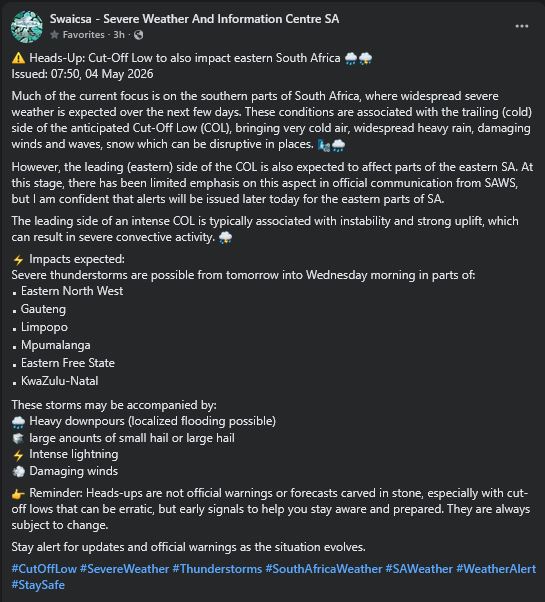
SWAICSA update
The Severe Weather and Information Centre SA (SWAICSA) noted that while much of the focus is on southern parts of the country, the eastern regions may also be affected.
“These conditions are associated with the trailing (cold) side of the cut-off low, bringing very cold air, widespread heavy rain, damaging winds, waves and possible snowfall. However, the leading (eastern) side may also result in severe convective activity,” it said.
Severe thunderstorms are possible from Tuesday into Wednesday morning in parts of:
• Eastern North West
• Gauteng
• Limpopo
• Mpumalanga
• Eastern Free State
• KwaZulu-Natal.
Storms may bring:
• Heavy downpours (localized flooding possible)
• Large anounts of small or large hail
• Intense lightning
• Damaging winds.
SWAICSA emphasised that these are early indications and not official warnings.
“Cut-off lows can be erratic, so conditions may change. Stay alert for updates and official warnings as the situation evolves,” it said.