Cold weather again expected this week
Lydenburg will have a high of only 16° and a low of 5° on Thursday.
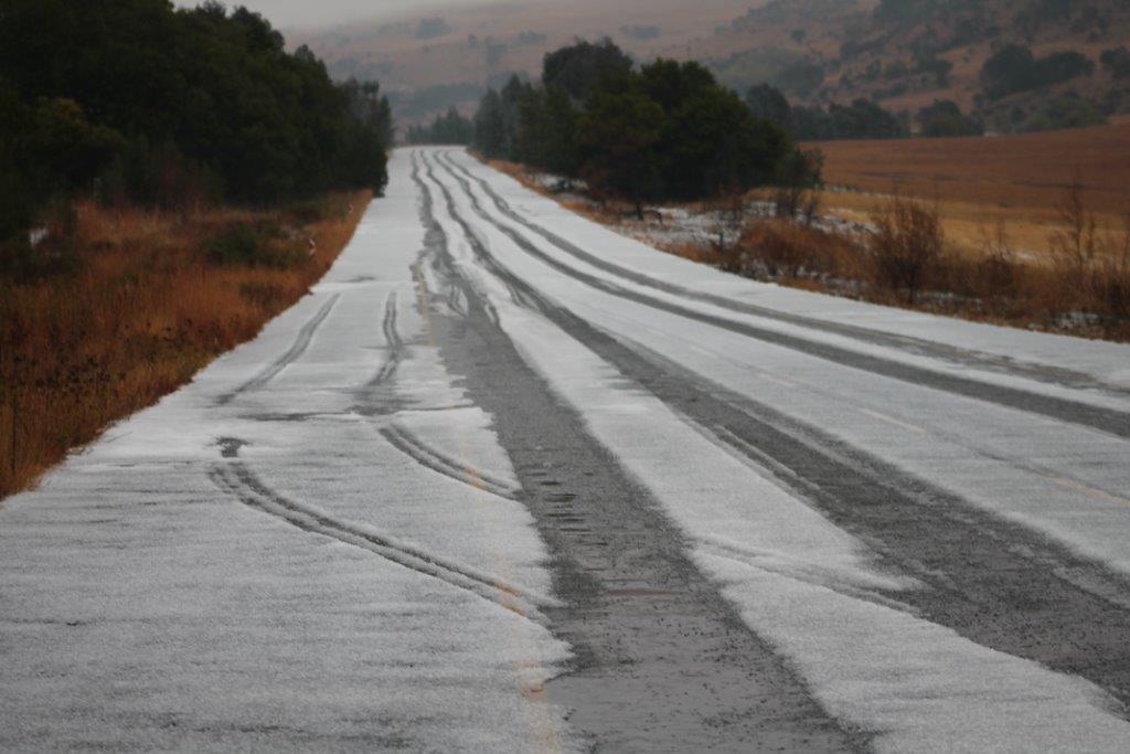
LYDENBURG – As the summer weather was settling in, residents can expect another cold front burst later this week. According to Snow ReportSA, the weather data is suggesting that the biggest snowfall of the season is on its way this week!
“The first snow with this system seems possible during the early hours of Wednesday morning in the Tiffindell and Rhodes area of the Eastern Cape, and by midday on Wednesday, we are expecting to see snow right the way along the Eastern Cape Drakensberg, the Southern Drakensberg and into the central high Drakensberg. During the afternoon on Wednesday, we expect these falls to intensify and extend further north into the Maluti Mountains around AfriSki and into the eastern parts of Lesotho. ”
During Wednesday night and into Thursday morning, Snow ReportSA said it expects to see it further intensity in the snowfalls as the freezing level drops further, bringing substantial falls over the Eastern Cape Drakensberg, the Southern KZN Drakensberg, as well as the central and northern Drakensberg.
The expected cold front will hit the Mpumalanga region by Thursday. By the weekend the cold weather will clear and sunny skies will again be expected.
Lydenburg will have a high of only 16° and a low of 5° on Thursday.