
The yellow 2 level warning for severe thunderstorms that was issued on Christmas Day remains in place
Picture: iStock
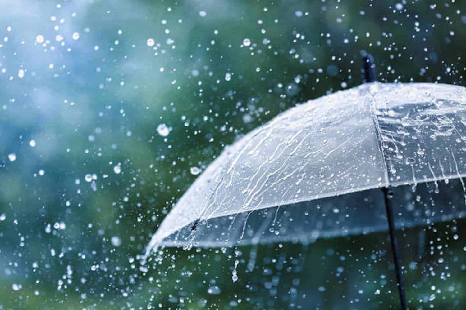
The cool and cloudy conditions on Christmas Day are expected to continue through the weekend, with more rain expected as we head into the New Year.
Thunderstorm warning
South African Weather Service (Saws) meteorologist Amukelani Mkhari warned that the yellow 2 level warning issued on Christmas Day for thunderstorms for Gauteng and the Highveld of Mpumalanga, parts of Limpopo, and parts of the Free State and North West remained in place and will continue until the beginning of the weekend.
“On Friday, the yellow 2 level warning for severe thunderstorms remains, especially over parts of Mpumalanga, most parts of North West, the eastern parts of Free State and the northern parts of KwaZulu-Natal,” she said.
Mkhari said similar weather to what we are currently experiencing is expected in the interior and central parts of the country up until Sunday.
‘Weather is repeating itself’
“The weather is just repeating itself. We are expecting isolated to scattered showers and thundershowers in the late afternoons. In the morning, you can expect cloudy conditions, and later in the morning, it will clear up with sunny and partly cloudy conditions, followed by the development of thunderstorms,” she said.
Mkhari said these thunderstorms may lead to localised flooding and are expected to be accompanied by excessive lighting and heavy downpours of rain, with a possibility of hail falling in some places.
Makari said that the temperatures remain cool to warm going into the weekend.
According to Saws’ Preliminary rainfall report, the highest rainfall measured on Wednesday was 26mm in Westonaria in Gauteng, 21mm reported in Secunda, Mpumalanga, 18mm rainfall in Lichtenburg, North West, 57mm in Wepener, Free State, 21mm rainfall in Van Zylsrus, Northern Cape, 16mm in Mossel Bay, Western Cape, and 31mm in Buffelsfontein in Eastern Cape.
