Find out what the latest weather forecast from the SA Weather Service means for your region on 15 January 2026.
Picture: SANParks/Canva
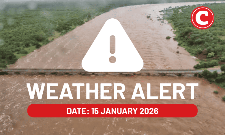
The South African Weather Service has warned that heavy downpours will continue to batter parts of Limpopo and Mpumalanga on Thursday, 15 January, with flooding, mudslides and damage to property expected.
Otherwise, thundershowers and warm to hot conditions have been forecast for the rest of the country.
Here is what you need to know.
Weather warnings for 15 January 2026
Impact-based warnings
The weather service has issued orange level 9 and 6 warnings for disruptive rainfall in parts of Limpopo’s Vhembe, Mopani, Capricorn and Sekhukhune District Municipalities; and Mpumalanga’s Emakhazeni, Msukaligwa, Mkhondo and Chief Albert Luthuli local Municipalities, and Ehlanzeni District Municipality.
This could result in widespread flooding of roads and settlements, widespread mudslides, rockfalls and soil erosion, danger to life due to fast flowing stream, widespread damage to property, building and loss of livelihood and livestock and possible widespread displacement of affected communities.
A yellow level 4 warning for disruptive rain with heavy downpours in the northeastern parts of KwaZulu-Natal, leading to flooding of roads and settlements, displacement of affected communities, major disruption of traffic flow due to major roads being flooded or closed.
Saws has also issued a yellow level 2 warning for disruptive rainfall in the central parts of Mpumalanga and western parts of Limpopo, excluding the extreme southwestern parts.
Expect localised flooding of susceptible formal/informal settlements or roads, low-lying areas and bridges, localised mudslides, rockfalls and soil erosion.
A yellow level 2 warning has also been issued for severe thunderstorms with heavy downpours, damaging winds, large amounts of hail and excessive lighting in the western parts of KwaZulu-Natal.
These conditions could possibly lead to localised flooding and damage to settlements and infrastructure.
Fire danger warnings
Expect extremely high fire danger conditions in parts of the Northern Cape and western parts of the Free State.
ALSO READ: Severe weather forces closure of parts of Kruger National Park
Provincial weather forecast
Here’s what to expect in your province on 15 January:
Gauteng:
Residents can expect cloudy and warm weather with isolated showers and thundershowers.
The region’s expected UVB sunburn index is “high”.
Residents should take the necessary precautions against prolonged sun exposure.
Mpumalanga:
Expect morning fog patches along the escarpment; otherwise, it will be cloudy and cool to warm with isolated to scattered showers and thundershowers but widespread in the east.
Limpopo:
It will be cloudy and cool to warm with isolated to scattered showers and thundershowers, but widespread in the east.
North West:
Partly cloudy and hot weather awaits North West residents, with isolated afternoon thundershowers.
Free State:
Residents can expect a partly cloudy and hot day with isolated afternoon thundershowers
Northern Cape:
It will be fine in the central parts; otherwise, the day will be partly cloudy and cool to warm, but hot in the northeast with isolated thundershowers in the extreme east.
Western Cape:
Expect cloudy skies along the south coast and adjacent interior; otherwise, it will be partly cloudy and cool to warm with isolated showers and rain in the west and south, but scattered along the south coast.
The region’s expected UVB sunburn index is “very high”.
Residents should take the necessary precautions against prolonged sun exposure.
Eastern Cape (western half):
It will be cloudy and cool to warm with isolated showers and rain but scattered along the coast.
Eastern Cape (eastern half):
Expect cloudy and cool to warm conditions with scattered showers and thundershowers.
KwaZulu-Natal:
There will be morning fog patches over the southern and western interior; otherwise, it will be a partly cloudy to cloudy and warm day. Scattered showers and thundershowers are expected but widespread in the northeast.