
Find out what the latest weather forecast from the SA Weather Service means for your region on 24 December 2025.
Picture: Canva
The South African Weather Service (Saws) has warned of severe thunderstorms in parts of North West and KwaZulu-Natal, with damaging coastal winds expected in the Western Cape.
Here is what the weather forecast looks like for Wednesday, 24 December.
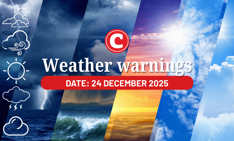
Weather warnings for 24 December
Impact-based warnings
The weather service has issued a yellow level 2 warning for severe thunderstorms with heavy downpours in the Free State, except in the extreme south, central and southern parts of North West and the northwestern parts of KwaZulu-Natal.
This could lead to flooding of susceptible roads, settlements and low-lying bridges/areas, excessive lightning and large amounts of small hail over a populated area.
Meanwhile, the extreme southeastern parts of KwaZulu-Natal will possibly experience damaging winds, excessive lightning and hail, with Saws having issued a yellow level 3 warning for severe thunderstorms.
Expect localised flooding of susceptible road, damage to infrastructure and settlements in the morning.
Furthermore, Saws has issued a yellow level 1 warning for damaging coastal winds resulting in localised disruption of small harbours and/or ports for a short period of time and difficulty in navigation at sea between Saldanha Bay and Cape Agulhas in the Western Cape.
Fire danger warnings
Expect extremely high fire danger conditions in the Matzikama Local Municipality in the Western Cape.
ALSO READ: KZN storm: Death toll rises as more bad weather expected
Provincial weather forecast
Here’s what to expect in your province on Wednesday, 24 December:
Gauteng:
Residents can expect a cloudy and warm day with scattered showers and thundershowers.
The region’s expected UVB sunburn index is “high”.
Residents should take the necessary precautions against prolonged sun exposure.
Mpumalanga:
Expect morning fog patches over the highveld and escarpment; otherwise, it will be cloudy and cool to warm with scattered showers and thundershowers.
Limpopo:
It will be cloudy and cool to warm with scattered showers and thundershowers.
North West:
Cloudy and cool to warm weather awaits North West residents, with scattered showers and thundershowers, but isolated in the west.
Free State:
Residents can expect cloudy and warm conditions with scattered showers and thundershowers, but isolated in the west.
Northern Cape:
There will be morning fog along the coast; otherwise, it will be partly cloudy and warm to hot day with isolated showers and thundershowers, except in the west where it will be fine.
Western Cape:
Expect morning fog along the west coast; otherwise it will be partly cloudy and cool to warm with isolated showers and rain in the south. It will be hot to very hot in the northwest
The region’s expected UVB sunburn index is “very high”.
Residents should take the necessary precautions against prolonged sun exposure.
Eastern Cape (western half):
It will be partly cloudy in the northwest; otherwise, the day will be cloudy and cool, with isolated showers and rain.
Eastern Cape (eastern half):
Expect cloudy and cool weather, with isolated showers and rain, but scattered in the far east.
KwaZulu-Natal:
The day will be cloudy and cool to warm with scattered showers and thundershowers.
Support Local Journalism
Add The Citizen as a Preferred Source on Google and follow us on Google News to see more of our trusted reporting in Google News and Top Stories.