
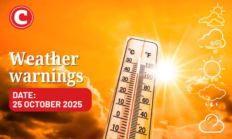
Find out what the latest weather forecast from the SA Weather Service means for your region for 25 October 2025.
Picture: iStock
The South African Weather Service (Saws) has warned of high fire danger in parts of Northern Cape, North West, and Free State, with scattered showers in some regions.
The weather service has released its latest weather forecast for 24 October 2025.
Here’s what you need to know.
Weather warnings: Saturday, 24 October
Fire danger warnings
The weather service has warned of extremely high fire danger conditions expected over eastern parts of Northern Cape, southern parts of North West, places over Free State, north-eastern parts of the Eastern Cape, western parts of KwaZulu-Natal and south-western parts of Gauteng, as well as the southern parts of Limpopo.
ALSO READ: Gloomy weekend for Cape Town? Here’s what the weather service expects
Provincial weather forecast
Here’s what to expect in your province on Saturday, 24 October:
Gauteng:
Residents of Gauteng can expect fine and warm weather, but it will be hot in the north.
The region’s expected UVB sunburn index is “very high”.
Residents should take the necessary precautions against prolonged sun exposure.
Mpumalanga:
Mpumalanga residents can expect fine and warm to hot conditions, but very hot in the Lowveld.
Limpopo:
The day will be fine and warm to hot, but very hot in the Limpopo Valley and Lowveld.
North West:
Fine weather awaits North West residents in the east; otherwise, it will be partly cloudy and warm to hot with isolated showers and thundershowers in the extreme west.
Free State:
Residents of the Free State can look forward to fine conditions in the extreme east; otherwise, it will be partly cloudy and hot with isolated afternoon showers and thundershowers, but scattered in the extreme southwest.
Northern Cape:
The day will be partly cloudy over the eastern parts with isolated afternoon showers and thundershowers in the extreme east; otherwise, it will be fine and cool to warm but cold in the extreme south-west.
Western Cape:
Western Cape residents can expect partly cloudy and cool weather with isolated showers and rain over the southern and southwestern parts. It will be cloudy and cold along the south coast.
The region’s expected UVB sunburn index is “very high”.
Residents should take the necessary precautions against prolonged sun exposure.
Eastern Cape (western half):
The day will be cold in the southwest, otherwise cloudy and cool to warm with isolated showers and thundershowers, but scattered showers and rain in the south.
Eastern Cape (eastern half):
The day will start with morning fog in places south of the escarpment; otherwise, it will be cloudy and cool to warm with scattered showers and thundershowers.
KwaZulu-Natal:
Residents of KwaZulu-Natal can look forward to morning fog patches over the interior; otherwise, it will be fine and warm to hot but very hot in places in the north. It will become partly cloudy in the south and southwest by afternoon with isolated showers and thundershowers in the extreme south.
The region’s expected UVB sunburn index is “very high”.
Residents should take the necessary precautions against prolonged sun exposure.
Support Local Journalism
Add The Citizen as a Preferred Source on Google and follow us on Google News to see more of our trusted reporting in Google News and Top Stories.