
The South Africa Weather Service has issued three alerts for severe weather urging residents to take precautions.
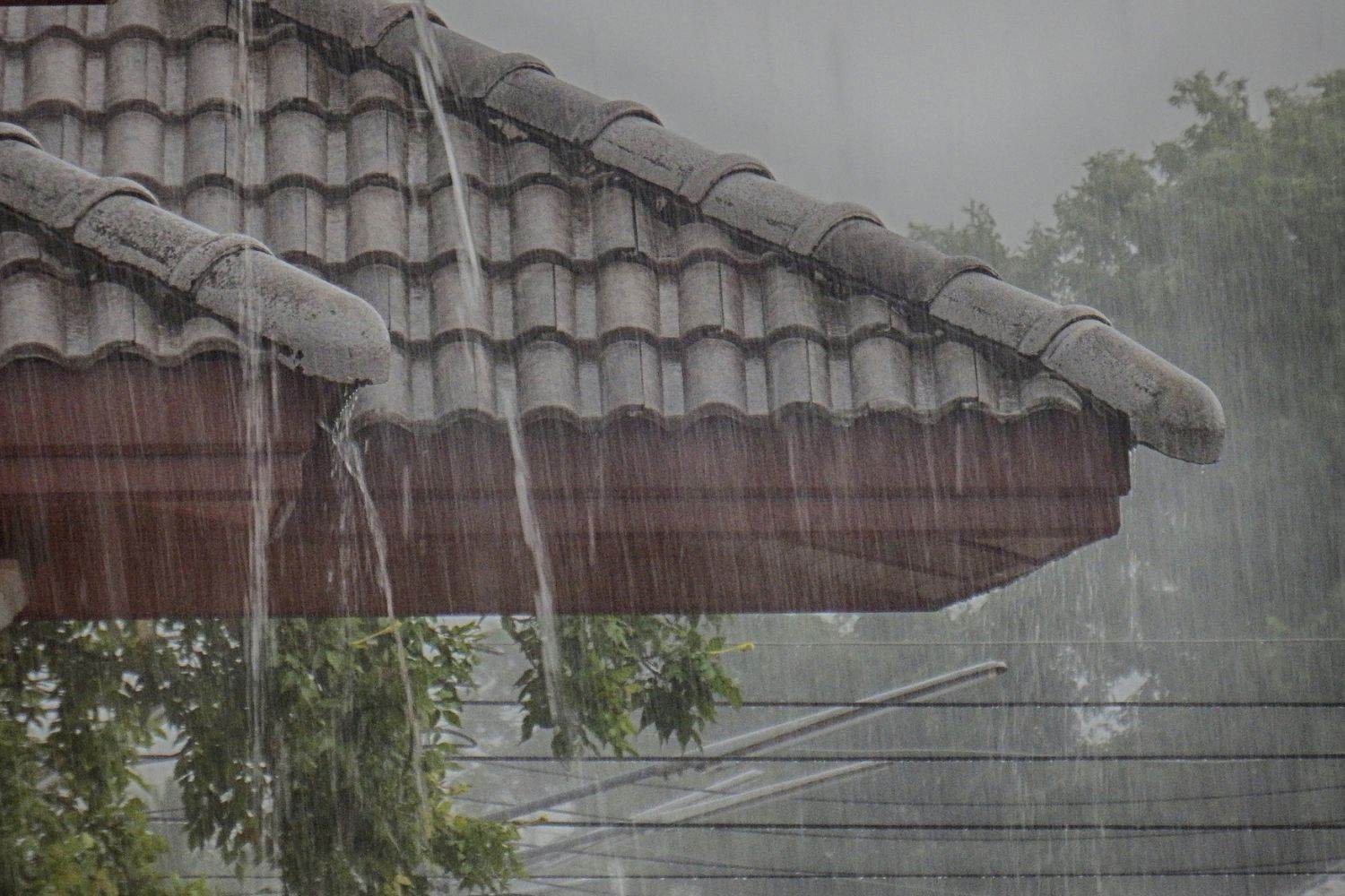
Residents have been warned to brace heavy rain, strong winds and localised flooding/ Picture: iStock
Western Cape residents have been warned to brace for heavy rain, strong winds and localised flooding as adverse weather conditions make landfall in the province.
The South African Weather Service (Saws) issued three severe weather alerts, urging residents to take precautions.
Warnings
Saws issued a Yellow level 2 warning for disruptive rainfall leading to localized flooding of susceptible formal and informal settlements or roads, and low-lying areas is expected over the south-western parts of Western Cape.
The weather service also issued a Yellow level 2 warning for damaging waves resulting in disruptions of small harbours and ports, and difficulty in navigation as well as possible storm surge are expected between Lambert’s Bay and Port Edward.
“A Yellow level 2 warning: damaging coastal winds resulting in small vessels and personal watercraft being at risk of taking in water and capsizing in locality are expected between Saldanha Bay and Port Edward,” Saws said.
Other parts of the country are expected to experience cool to very cold conditions.
“Very cold conditions are expected in places over the interior of the Eastern Cape,” Saws said.
ALSO READ: Emergency services on alert as cold front hits Gauteng
Gauteng
Gauteng weather will be fine and cool, but partly cloudy in the north.
Mpumalanga
Fine and cool but warm in the Lowveld. It will be partly cloudy in the north-west.
Limpopo
Saws said Limpopo will be partly cloudy in the south-west, otherwise fine and cool but warm in the Lowveld.
North West
The North West will be fine and cool.
Free State
Residents can anticipate fine and cold to cool weather. It will be windy in the east
Northern Cape
Fine in the east, otherwise partly cloudy and cool to cold with isolated showers and rain in the south-west where it will be very cold.
The wind along the coast will be moderate to fresh south-easterly.
Western Cape
Partly cloudy and cold with isolated to scattered showers and rain, except in the north-east, but widespread in the extreme south-west. It will be cloudy in the south.
The wind along the coast will be moderate to fresh southerly to southwesterly along the west coast, otherwise strong westerly. It will become light and variable along the south-west coast from the evening.
Western half of the Eastern Cape:
Partly cloudy and cool with morning showers along the coast, where it will be cloudy and windy.
The wind along the coast will be Strong westerly reaching gale force at times in the early afternoon.
Eastern half of the Eastern Cape
The weather in the eastern half of the Eastern Cape will be fine and cool, becoming partly cloudy along the coast west of Kei Mouth.
The wind along the coast will be strong westerly to south-westerly.
KwaZulu-Natal
Residents can expect fine and cool but warm in places in the north, becoming partly cloudy in the south-east from the afternoon with isolated showers and thundershowers.
The wind along the coast will be light to moderate northerly to north-easterly, reaching fresh in places in the north, becoming moderate to fresh southerly to south-westerly in the south by late morning, spreading to Kosi Bay by the evening.
ALSO READ: Cold front putting pressure on electricity grid, City Power warns
