Find out what the latest weather forecast from the SA Weather Service means for your region for 21 September 2025.
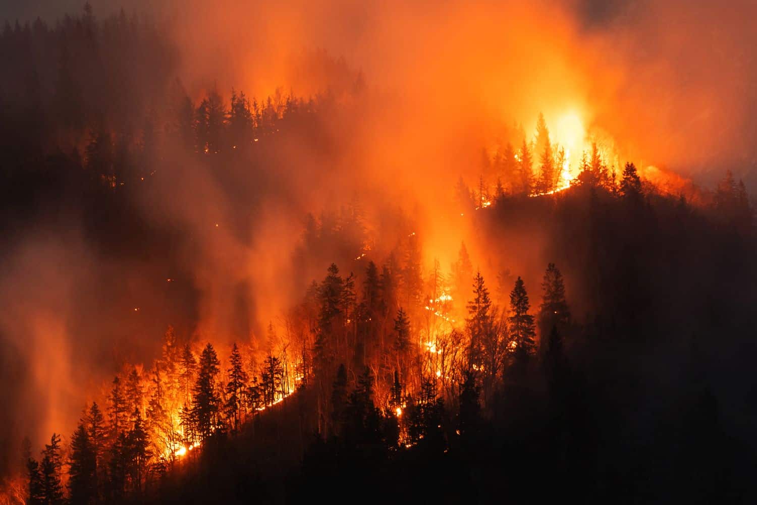
For illustrative purposes. Picture: iStock
Parts of the country should be on alert for extremely high fire danger conditions, which may result in wildfire on Sunday.
The South African Weather Service (Saws) issued a warning for extremely high fire danger conditions in the eastern parts of the Northern Cape, the south-western parts of the North West, and the north-western parts of the Free State.
Weather in other parts
Extremely high fire danger conditions are driven by a combination of very dry conditions, including low humidity, hot temperatures, and dry fuels, coupled with strong winds that quickly spread the fire.
According to Saws, most parts of the country will be partly cloudy, with isolated showers and thundershowers.
ALSO READ: Inside the life of the firefighters battling SA’s deadliest wildfires
Provincial weather forecast
Here’s what to expect in your province on Sunday, 21 September:
Gauteng:
Partly cloudy and warm.
Mpumalanga:
Partly cloudy and cool to warm with isolated showers and thundershowers over the central and southern parts by the afternoon.
Limpopo:
Partly cloudy in the extreme south, otherwise fine and warm.
North-West:
Partly cloudy, windy, and warm to hot, with isolated showers and thundershowers in the extreme south.
Free State:
Partly cloudy, windy, and warm to hot, with isolated showers and thundershowers, but scattered over the Lesotho border, particularly in the southern and eastern parts.
Northern Cape:
Cloudy to partly cloudy, with windy conditions and warm to hot temperatures, accompanied by isolated showers and thundershowers in the east, but scattered in the extreme southeast.
Morning fog is expected over the western interior.
Western Cape:
Cloudy and warm, but cool along the coast, with isolated to scattered light showers and rain in the evening over the south-western parts and north-eastern interior.
Western half of the Eastern Cape:
Partly cloudy and cool to warm, becoming cloudy with isolated afternoon showers and thundershowers but scattered in the north.
Eastern half of the Eastern Cape:
Partly cloudy and cool to warm, becoming cloudy with isolated showers and thundershowers, but scattered north of the escarpment.
KwaZulu-Natal:
Morning fog over the northern interior, otherwise cloudy to partly cloudy and cool to warm with isolated scattered showers and thundershowers, but isolated in the north.
NOW READ: Could SA see disasters similar to LA fires? Expert weighs in