
SAWS warns of stormy year-end – what Mbombelans need to know
La Niña brings above-normal summer rainfall to South Africa.
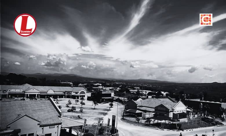
This year is set to end not with fireworks, but with thunder, as SAWS warns of stormy weather on December 31.
SAWS issued a yellow level 2 warning for thundershowers from the afternoon.
Weather forecast for today & tomorrow, 30 – 31 December 2025.
Partly cloudy and cool to warm conditions over the central & eastern parts of the country, with isolated to scattered showers & thundershowers anticipated from the afternoon, but fine & hot to very hot in the west. pic.twitter.com/0OyR6K4Arz— SA Weather Service (@SAWeatherServic) December 30, 2025
“Partly cloudy and cool to warm conditions over the central and eastern parts of the country, with isolated to scattered showers and thundershowers, are anticipated from the afternoon, while fine and hot to very hot conditions are expected in the west,” SAWS predicted.
As the festive season draws to an end, severe weather conditions have been observed across Mpumalanga and other parts of the country.
Heavy rainfall continues
Persistent heavy rainfall continues to batter the Lowveld region, leaving a trail of destruction that has paralysed key transport routes and claimed several lives over the festive period.
The human cost of the storms was felt most sharply on Christmas Day, when two SANDF Military Police officers conducting border duties under Operation Corona were swept away while crossing the Nkomazi River near Komatipoort.
#sapsNW [UPDATE ON THE MISSING SANDF MEMBER] As the search continued at Komati river in Komatipoort today, Monday 29 December 2025, the team was alerted by a local fisherman about the remains of a person floating in the river. It was then confirmed that it was indeed the remains… https://t.co/gJecw798O4 pic.twitter.com/CzQwP1uzqO
— SA Police Service 🇿🇦 (@SAPoliceService) December 29, 2025
ALSO READ: Human remains believed to be missing soldier found near Mozambique border
Severe storms tore through macadamia farms in Brondal near Mbombela on Saturday night, December 27, leaving uprooted trees and widespread crop damage.
ALSO READ: WATCH: Devastating storm rips through farms near Mbombela
@lowvelder The aftermath of a heavy storm on a Brondal farm near Mbombela on Saturday, December 27. > Video: Supplied/Cindy Cutting #heavystorm #stormy #weather #mbombela #mpumalangatiktoker
Safety warnings
With dam levels across the province averaging over 99%, the Department of Water and Sanitation has issued urgent safety warnings.
Residents and holidaymakers are advised to:
* Avoid swimming in dams or rivers, many of which are overflowing.
* Not cross low-lying bridges, as even shallow-looking water can sweep away vehicles.
* Be cautious of wildlife, as crocodiles and hippos have been displaced by floodwaters.
Tips to stay safe during thunderstorms:
* If you are outdoors and see or hear a thunderstorm approaching, seek safe shelter immediately.
* If your hair stands on end, leave the area as quickly as possible, as lightning may strike imminently.
* When you see lightning, count the seconds until you hear thunder. At 30 seconds, suspend outdoor activities and seek shelter. At 15 seconds or less, a lightning strike could occur nearby.
* Unsafe areas during lightning storms include tall structures such as trees, telephone poles and power lines. Do not shelter under trees, on hilltops, in isolated sheds, or on open water.
* Avoid touching metal objects such as fences, bicycles, motorcycles, and power lines.
* If indoors, stay clear of windows and avoid using electrical appliances, telephones, or bathing during storms.
* If travelling, remain inside your vehicle.
* Do not swim or play sport during thunderstorms. Golfers and fishermen are particularly at risk.
Seasonal climate outlook
Looking ahead, SAWS, through its Disaster Risk Reduction function, has released the latest seasonal climate outlook for the 2025/26 summer season, covering December 2025 to April 2026.
The forecast indicates a transition toward a weak La Niña state, expected to influence rainfall and temperature patterns across the country.
“La Niña refers to a climate pattern where waters in the central and eastern Pacific Ocean become cooler than normal. This cooling alters global wind and weather patterns and typically brings above-normal summer rainfall to north-eastern parts of South Africa, including Gauteng, Limpopo, Mpumalanga, KwaZulu-Natal, and parts of North West and the Free State. Climate model predictions suggest these conditions will persist into mid-to-late summer.”