Fire authorities are on high alert as extreme veld fire conditions threaten multiple regions.
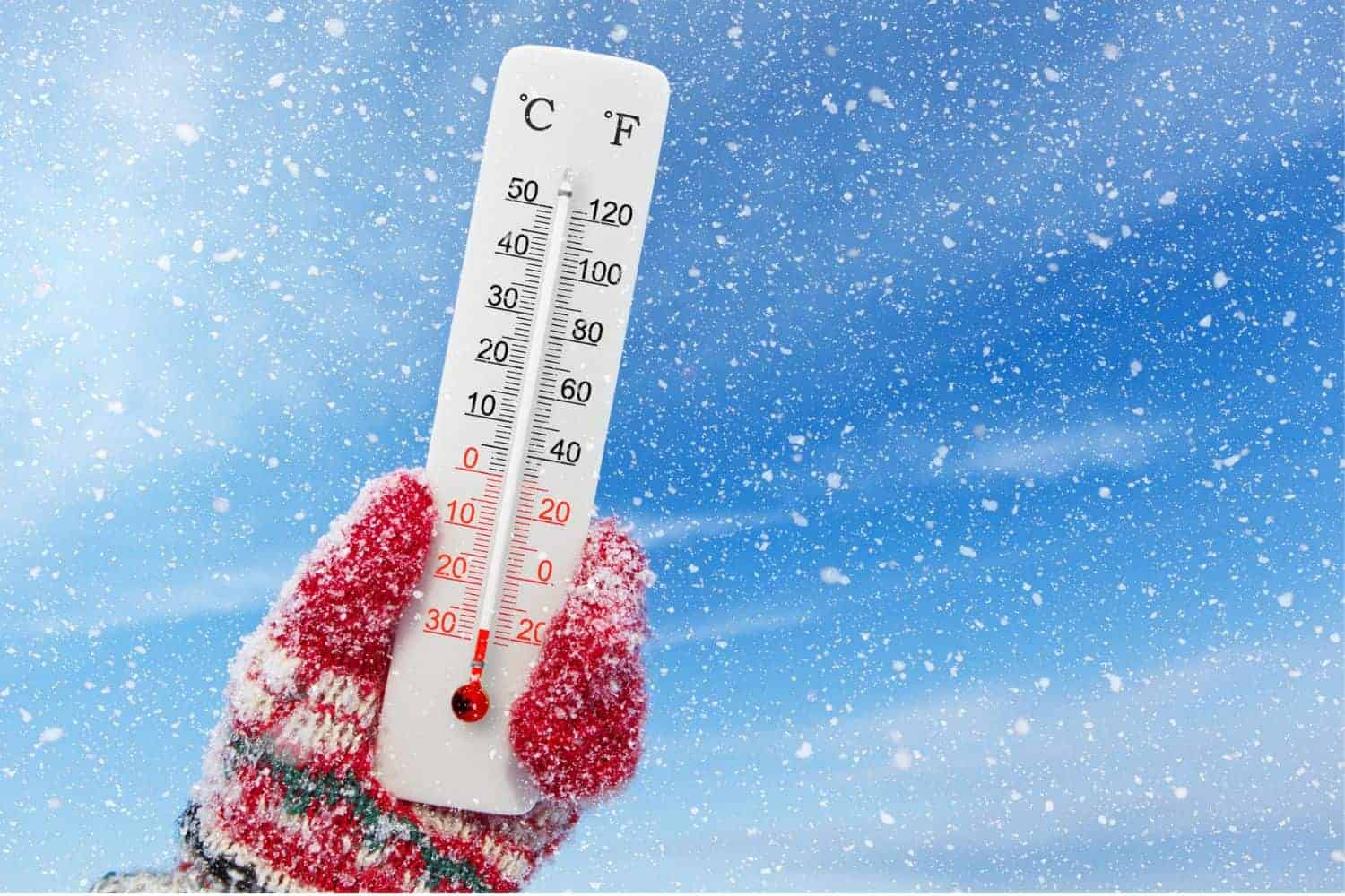
Photo: iStock
The South African Weather Service (Saws) has issued multiple severe weather warnings for Sunday, 20 July 2025, with damaging winds and extreme fire conditions expected across several provinces.
A yellow level 1 warning has been declared for the central Northern Cape, where damaging winds are forecast to create hazardous conditions.
The weather service warns these conditions will result in “localised problems for high-sided vehicles on prone routes, longer travel time, and risk of localised runaway fires.”
Extreme fire danger across three municipalities
Fire authorities are on high alert as extreme veld fire conditions threaten multiple regions.
The most severe fire danger warnings cover Upington and Kareeberg local municipalities in the Northern Cape, along with Beaufort West local municipality in the Western Cape.
These extreme conditions, combined with the forecasted strong winds, create a volatile combination that could lead to rapid fire spread across the affected areas.
Provincial Weather Breakdown
Gauteng and Mpumalanga
Gauteng residents can expect partly cloudy skies and cool temperatures throughout Sunday.
The South African Weather Service indicates the UV sunburn index will remain at moderate levels for the province.
Neighbouring Mpumalanga will experience morning fog over the highveld areas before conditions clear to cloudy and partly cloudy skies.
Temperatures will range from cool to cold across the province.
ALSO READ: Weather alert: Flood risk in KZN and isolated showers in most provinces
Northern provinces face mixed conditions
Limpopo will see morning fog patches in southern areas, with the weather service forecasting cloudy to partly cloudy conditions and cool temperatures.
The province’s north-eastern regions may experience isolated showers and rain.
The North-West Province will be significantly affected by windy conditions, particularly in western areas.
Despite the wind, the province will maintain partly cloudy skies with cool temperatures throughout the day.
Central regions brace for cold snap
The Free State will experience some of the coldest conditions, with morning fog patches expected in the extreme eastern areas.
The weather service predicts partly cloudy skies with cold to cool temperatures, becoming particularly cold along the Lesotho border.
Western areas will also experience windy conditions.
Coastal provinces see varied weather patterns
The Northern Cape is expected to face a complex weather pattern, with frosty areas anticipated in some locations during the morning hours.
Conditions will be clear to fine, with windy weather and temperatures ranging from cool to cold, although northern areas will be notably warmer.
Coastal areas will see increasing cloud cover during the evening hours.
Coastal winds in the Northern Cape will begin as light westerly to north-westerly before shifting to light to moderate south-westerly by late afternoon.
The Western Cape will also experience morning frost in certain areas before clearing to fine conditions.
Temperatures will be cool to cold, though central and eastern parts may see warmer conditions in some places.
The Western Cape’s coastal areas will see increasing cloud cover along the west and south-western regions during evening hours.
Coastal winds will start light and variable in the morning before becoming moderate to fresh south-westerly to westerly along the west and south-west coast, eventually spreading to the south coast by afternoon.
The UV sunburn index for the Western Cape is expected to remain low.
Eastern regions experience contrasting conditions
The western half of the Eastern Cape will enjoy fine weather despite windy conditions and warm temperatures.
Meanwhile, some northern areas may experience cooler conditions. Coastal winds will be light to moderate north-easterly throughout the day.
In contrast, the eastern half of the Eastern Cape will see morning fog over interior areas before clearing to fine, windy conditions.
Temperatures will be generally cool, though some south-western areas may experience warmer conditions.
KwaZulu-Natal faces wet start
KwaZulu-Natal will experience the most unsettled weather, with morning rain expected along the north coast and fog patches in western areas.
Conditions will improve to partly cloudy skies with cool temperatures, though south-western areas will be notably cold.
Coastal winds in KwaZulu-Natal will be moderate to fresh north-easterly, with the UV sunburn index reaching high levels across the province.
READ NEXT: Cold snap and clouds: Cape Town braces for chilly, windy weekend