
What the latest weather forecast from the SA Weather Service means for your region on 21 January 2026.
Picture: Canva
Severe thunderstorms are expected in parts of the North West, Free State and Northern Cape on Wednesday, 21 January, while damaging coastal winds are likely to hamper navigation at sea in the Western Cape.
Here is what weather to expect tomorrow, according to the South African Weather Service.
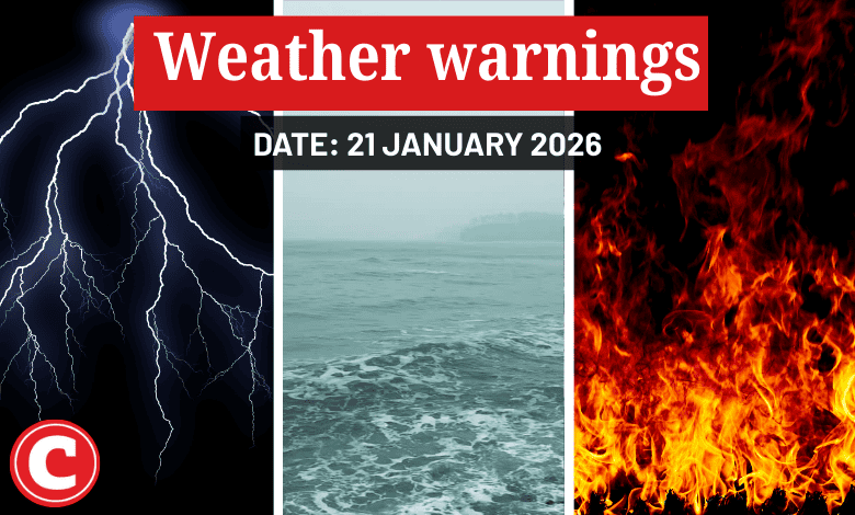
Weather warnings for 21 January 2026
Impact-based warnings
The weather service has issued a yellow level 2 warning for severe thunderstorms resulting in localised damage to infrastructure, informal settlements, property, vehicles, livelihood and livestock over the central and eastern parts of North West, central and western parts of the Free State and northeastern parts of the Northern Cape.
A yellow level 1 warning has also been issued for damaging coastal winds resulting in difficulty in navigation at sea between Cape Columbine and Cape Agulhas in the Western Cape.
Fire danger warnings
Expect extremely high fire danger conditions in the interior of the Namakwa district municipality of the Northern Cape and the City of Cape Town , and Bergrivier and Drakenstein municipalities in the Western Cape.
Advisories
Saws has warned of very hot and uncomfortable conditions over the western parts of Namakwa district municipality in the Northern Cape and the West Coast, and southwestern parts of the Cape Winelands district municipality in the Western Cape.
ALSO READ: Limpopo floods: Some good news at last
Provincial weather forecast
Here’s what to expect in your province on 21 January:
Gauteng:
Residents can expect a partly cloudy and cool to warm day with isolated showers and thundershowers.
The region’s expected UVB sunburn index is high. Residents should take the necessary precautions against prolonged sun exposure.
Mpumalanga:
Expect morning fog patches on the escarpment and the Highveld areas, otherwise it will be partly cloudy and cool to cold with isolated showers and thundershowers.
Limpopo:
It will be cloudy and cool with isolated showers and thundershowers.
North West:
Cloudy and warm weather awaits North West residents, with isolated to scattered showers and thundershowers.
Free State:
Residents can expect morning fog patches in the east; otherwise, it will be partly cloudy and warm to hot with isolated showers and thundershowers, but scattered over the central and western parts.
Northern Cape:
It will be warm in the northwest; otherwise, fine and hot to very hot, but partly cloudy in the central and eastern parts with isolated showers and thundershowers, but scattered in the extreme east in the afternoon.
Western Cape:
Expect a fine and hot to very hot day, but cool to warm in the south.
The region’s expected UVB sunburn index is extreme. Residents should take the necessary precautions against prolonged sun exposure.
Eastern Cape (western half):
It will be partly cloudy and warm to hot with isolated afternoon thundershowers in the north. The day will be fine in the southwest.
Eastern Cape (eastern half):
Expect fine and cool but partly cloudy conditions with isolated thundershowers in the north.
KwaZulu-Natal:
There will be morning fog over the interior, otherwise it will be partly cloudy and cool to warm with isolated showers and thundershowers.
