
Find out what the latest weather forecast from the SA Weather Service means for your region for 23 July 2025.
Picture: iStock
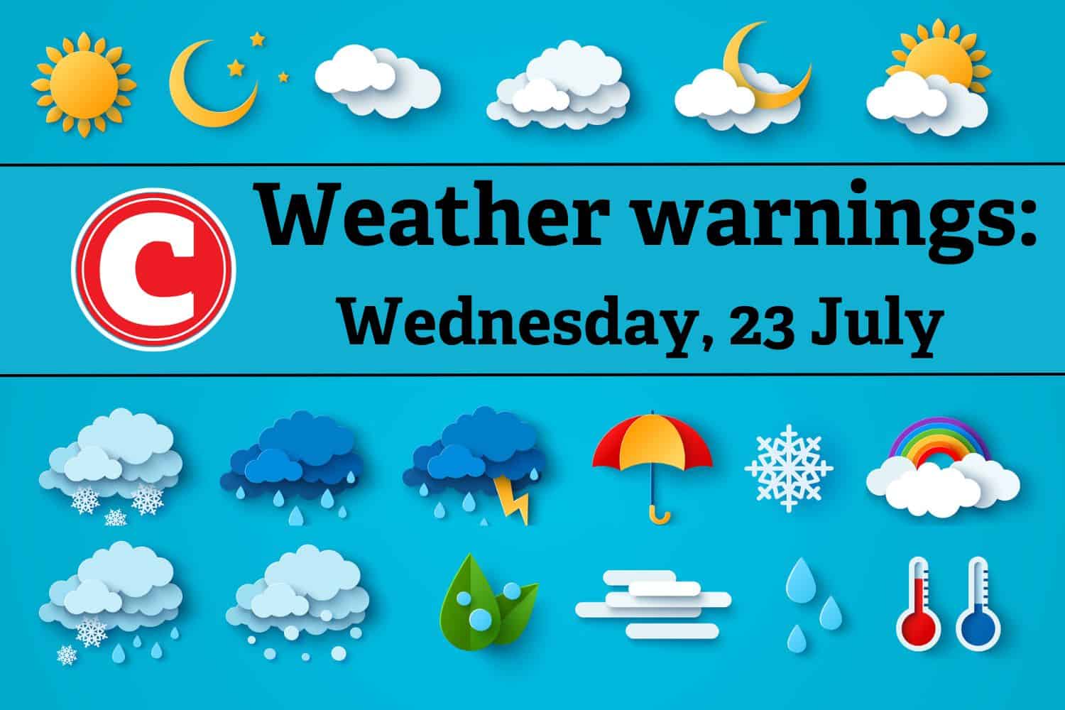
The South African Weather Service (Saws) has released its latest weather forecast for Wednesday, 23 July 2025.
Parts of South Africa will experience cold weather, scattered showers, and a disruptive rain warning for KwaZulu-Natal on Wednesday. Here’s what you need to know.
Weather warnings, Wednesday, 23 July
Impact-based warnings
The weather service has issued a yellow level 2 warning for disruptive rainfall resulting in localised flooding of susceptible formal/informal settlements or roads, low-lying areas and/or bridges, slippery roads leading to minor vehicle accidents, and difficulty in driving conditions on dirt roads along the north coast of KwaZulu-Natal.
ALSO READ: Weather alert: EC braces for severe thunderstorms as cold hits KZN
Provincial weather forecast
Here’s what to expect in your province on Wednesday, 23 July:
Gauteng:
Residents of Gauteng can expect morning fog patches in the south and central areas; otherwise, the weather will be partly cloudy and cold but cool in the north.
The region’s expected UVB sunburn index is “high”.
Residents should take the necessary precautions against prolonged sun exposure.
Mpumalanga:
Mpumalanga residents can expect morning fog patches along the escarpment; otherwise, conditions will be partly cloudy and cold but cool in places in the east with isolated showers except in the extreme west.
Limpopo:
The day will start with morning fog patches along the escarpment; otherwise, it will be partly cloudy and cool with isolated showers in the east, where it will be cool.
North West:
Partly cloudy and cool weather with isolated showers and thundershowers awaits North West residents over the western parts.
Free State:
Residents of the Free State will experience cloudy conditions with morning fog patches over the eastern parts at first; otherwise, it will be partly cloudy and cold to cool, with isolated showers and thundershowers except over the northern parts.
Northern Cape:
The day will be cloudy with morning fog along the northern parts of the coast; otherwise, it will be partly cloudy and cool to warm with isolated showers and thundershowers in the east and central in the afternoon.
Western Cape:
Western Cape residents can expect partly cloudy weather with morning mist or fog patches over the northern and south-western parts; otherwise, it will be fine and cool to warm. Isolated showers and thundershowers are expected over the extreme northeastern parts in the afternoon.
Eastern Cape (western half):
The day will start with morning fog in places over the interior; otherwise, it will be fine and cool, becoming partly cloudy with isolated afternoon thundershowers in the north.
Eastern Cape (eastern half):
The day will start with morning fog in places over the interior; otherwise, it will be fine and cool, becoming partly cloudy with isolated afternoon thundershowers in the north.
KwaZulu-Natal:
Residents of KwaZulu-Natal can look forward to morning fog in places over the interior; otherwise, it will be partly cloudy and cool but cold in places in the west. Isolated showers and rain are expected but scattered along the north coast.
