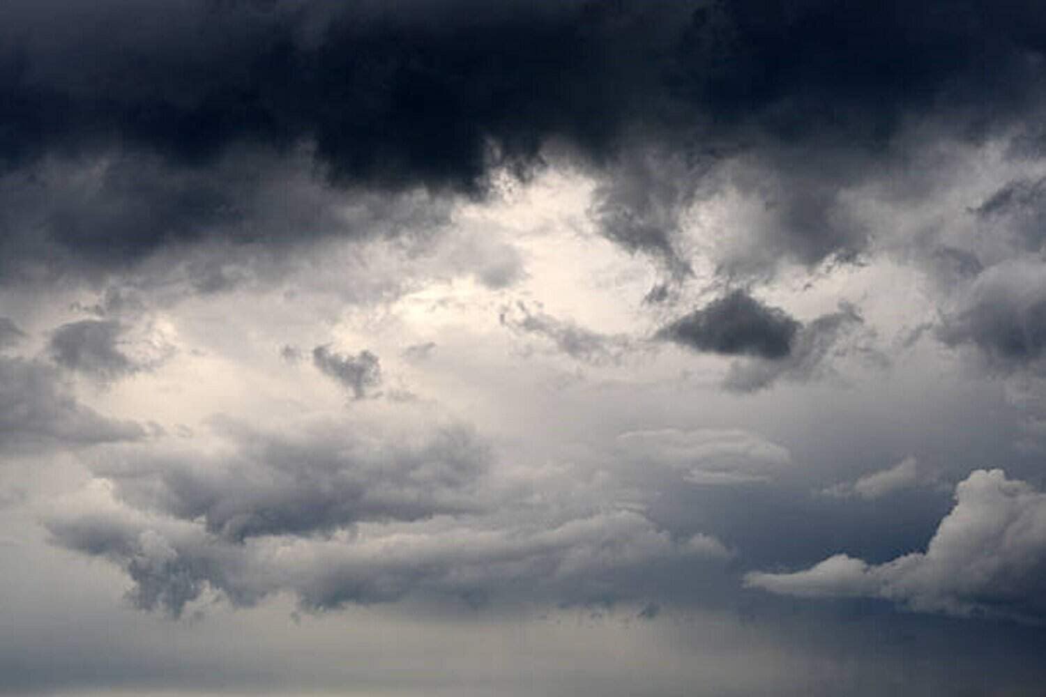
The country is experiencing the start of the storm season.
Picture: iStock
As hailstorms and extreme thunderstorms continue across the country, with weather warnings on the rise, experts say this is the calm before the real storms.
The Weather Hooligan, Juandre Vorster, said what SA is currently experiencing and for the rest of November is the start of the storm season. The biggest storms are likely to occur in January and February.
Extreme weather
Vorster said the extreme weather over the eastern parts of Johannesburg wasn’t uncommon. “It happens every year.
Every year, the East Rand gets smacked from the south because all the storms come in from the south,” he said.
Gauteng
South African Weather Service (Saws) meteorologist André Fourie said the outlook for Gauteng for the week starts off with 80% widespread thunder on Monday, going into Tuesday and isolated thundershowers expected on Wednesday.
“On Thursday and Friday, we can expect scattered thundershowers, and on Saturday, isolated thundershowers,” he said.
ALSO READ: You’ve been warned: Brace for very bad weather in Gauteng and across four other provinces on Monday
Farmers
TLU chair Bennie van Zyl said rain and wet weather damage was better for farmers than a prolonged drought.
“Agriculture has variables and fluctuations, and the weather, especially recently, with the climate change that we are experiencing across the country, those norms where you know you are going to get rain now and then a drought and then rain again, that is no longer a guarantee.
“So, we can no longer make predictions, but as long as the farmers get adequate rain at the right time, they will get profits at the end of the season,” Van Zyl said.
Damages
Heavy rain and hail didn’t cause much damage to cattle farms because there is a lot of moisture in the soil now. It is a good growing season with the heat, which means the farmers can get very good grazing, he added.
“For the seed farmers, like the peach farmers, it is over. Those farmers do not have a chance to save their crops.
“That’s why I say that every farm is a business entity in its own right. Circumstances determine what plays out there. That’s why the agriculture sector has adapted – to stay in production,” he added.
Vaal Dam
Department of Water and Sanitation spokesperson Mandla Mathebula confirmed two sluice gates were closed on Saturday to reduce the outflow at the Vaal Dam.
“In the past week, the department opened eight sluice gates at the Vaal Dam to manage water outflows from the dam, as the water levels were rapidly rising due to the continuous rains that persisted in Gauteng and Mpumalanga.
“The water outflow was increased to 1 097m3 per second. Following the closure of the two sluice gates, water outflow from the Vaal Dam will decrease to approximately 650m3 per second. Water outflows at Bloemhof Dam were also increased from 600m3 per second to 1 000m3 per second last week. They will remain at this level,” he added.
Dam level
Mathebula said since it is no longer raining, the level at Vaal Dam continues to drop slowly. It decreased from 105.67% on Friday to 102.74% on Saturday morning. Bloemhof Dam was also at full capacity, recording 100.75% on Saturday morning.
“The department of water and sanitation will conduct its routine flood analysis to actively monitor the inflow levels at both Vaal and Bloemhof Dams.
“This will determine the action that needs to be taken with regard to the remaining open sluice gates at Vaal Dam,” he said.
ALSO READ: Severe thunderstorms, blistering winds, heavy rain, hail and flooding forecast for 4 provinces
Support Local Journalism
Add The Citizen as a Preferred Source on Google and follow us on Google News to see more of our trusted reporting in Google News and Top Stories.