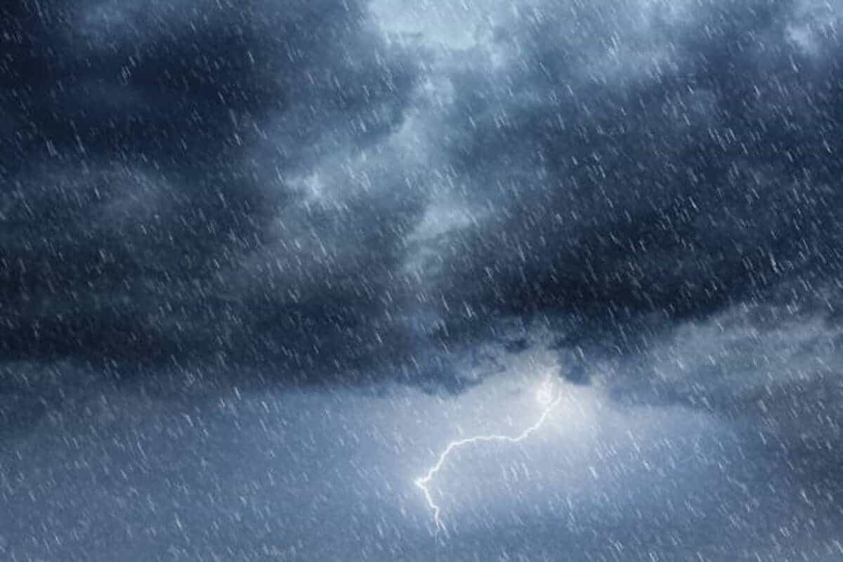
Flooding, hail and damaging winds have already been reported across several provinces.
Picture: iStock
This month has kicked off with a bang, with severe thunderstorms and flooding at the weekend and a tornado sighting yesterday.
If the past weekend wasn’t stormy enough, forecasters warn more rain is to come this week, with weather warnings in place and unexpected rain forecast in the Western and Eastern Cape, with the first cut-off low for the year.
Tornado sighting and hailstorms raise alarm
Yesterday, a tornado in the making was spotted in Dullstroom following severe storm conditions there and a hailstorm hit Dordrecht in the Eastern Cape.
The SA Weather Service preliminary rainfall yesterday measured 40mm at the Johannesburg Botanical Gardens and 29mm at the Pretoria Zoological Gardens.
ALSO READ: Mbombela weather: Residents report destruction following Croc Valley storm
In Mpumalanga, 33mm was reported in Belfast but Polokwane in Limpopo reported just 5mm and 40mm was recorded in Paul Roux in the Free State.
Farmers brace for impact as rain spreads
The weather bureau said the yellow level 2 weather warning for severe thunderstorms that may lead to localised flooding, damaging winds, hail and lightning was still in place for tomorrow in parts of Limpopo, Mpumalanga and Gauteng.
Vox weather meteorologist Annette Botha said the Western and Eastern Cape can expect rain later this week TLU chair Bennie van Zyl said while some farmers have already experienced flood and rain damage, especially after the floods in the northeastern parts of the country, other farmers in the southern and western Cape were praying for rain.