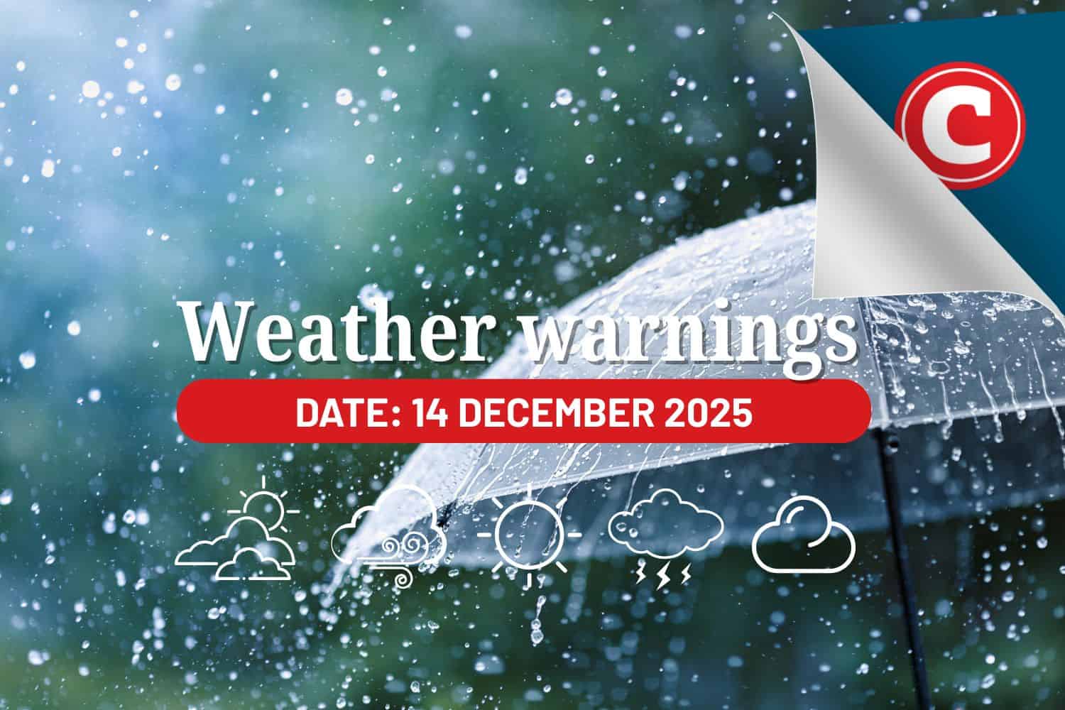
Find out what the latest weather forecast from the SA Weather Service means for your region for 14 December 2025.
Picture: Canva
Sunday will be marked by severe thunderstorms, with scattered showers and potentially dangerous weather conditions affecting large parts of South Africa’s northern interior.
The South African Weather Service (Saws) has released its latest weather forecast for 14 December 2025.
Here’s what you need to know.
Weather warnings: Sunday, 14 December 2025
Impact-based warnings
The weather service issued a yellow level 2 warning for severe thunderstorms expected over the eastern parts of North West, southern parts of Limpopo, as well as the northern parts of both Gauteng and Mpumalanga.
According to Saws, the storms will bring “severe thunderstorms leading to localised flooding of susceptible roads, settlements and low-lying areas or bridges, excessive lightning, strong damaging winds and large amounts of small hail and/or large hail.”
Provincial weather forecast
Here’s what to expect in your province on Sunday, 14 December 2025:
Gauteng
Residents of Gauteng can expect cloudy and cool weather with scattered showers and thundershowers.
The region’s expected UVB sunburn index is low.
ALSO READ: Gauteng braces for weekend storms as temperatures soar
Mpumalanga
Mpumalanga residents can expect cloudy and cool weather with scattered showers and thundershowers. It will be warm in places in the Lowveld.
Limpopo
It will be cloudy, with cool-to-warm conditions and scattered showers and thundershowers, but isolated in the north and east.
North West
Cloudy, windy and warm weather awaits the North West with isolated showers and thundershowers, but scattered in the east.
Free State
Residents of the Free State can look forward to partly cloudy to cloudy, windy and cool to warm weather with isolated showers and thundershowers.
Northern Cape
The day will be fine and warm to hot, becoming partly cloudy in the extreme north-east with isolated afternoon showers and thundershowers.
Western Cape
Western Cape residents can expect fine and warm to hot conditions. It will be cool in places in the south, where it will be partly cloudy in the early morning.
The region’s expected UVB sunburn index is very high.
Residents should take the necessary precautions against prolonged sun exposure.
Eastern Cape (western half)
The day will be fine and warm to hot but partly cloudy along the coast, where it will be cool in places. It will be cloudy in the north-east in the morning.
Eastern Cape (eastern half)
The day will be partly cloudy and cool to warm but cloudy with morning fog and a chance of light rain in places in the south-east. Isolated afternoon thunderstorms are expected in the north-east.
KwaZulu-Natal
Residents of KwaZulu-Natal can look forward to cloudy and cool to warm weather with scattered showers and thundershowers but isolated in the south, where it will become partly cloudy in the afternoon.
Morning fog is expected over the interior.
The region’s expected UVB sunburn index is low.
READ NEXT: Widespread storm warnings as severe weather hits SA this Saturday