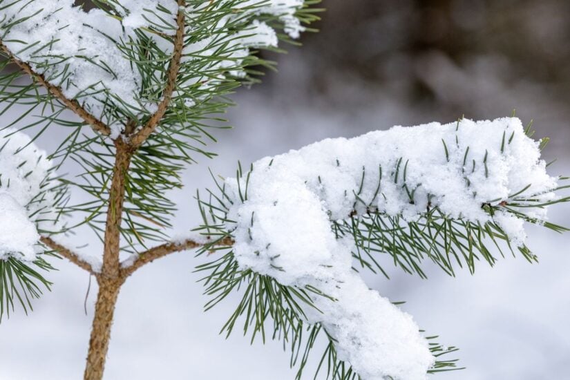
While light snowfall is possible over Gauteng, heavier snowfall is likely over the mountains and high-lying areas of the Eastern Cape
Picture: iStock


As a cold front hits South Africa over the long weekend, independent weather forecaster Juandre Vorster said snow could fall in Johannesburg.
Vorster, also known as The Weather Hooligan, said Joburg “is back on the radar” for snow for Monday, 10 August.
Snow in Joburg?
“Some of the latest forecast guidance is once again indicating the potential for significant snowfall across parts of Johannesburg and Gauteng, with some model projections currently suggesting up to around 30cm in the most favourable areas,” he said.
Vorster, however, added that the snow forecast could change.
“Weather models are constantly changing, especially with a complex system like this. The exact position, strength and moisture availability of the system will determine where the heaviest snow develops.”
“The next few forecast runs will be absolutely critical. Johannesburg has officially been put back on the radar – and we’re watching this one very closely!” Vorster added.
Snow in other parts of South Africa
According to Vox Weather, light snowfall remains possible over south-eastern Gauteng on Monday. It said snow is forecast to fall in the areas of Delmas, Nigel, Benoni and Vereeniging.
“Snow is not currently expected in Pretoria. Any snow falling together with rain over Gauteng may also struggle to settle,” said Vox Weather forecaster Annette Botha.
Vox Weather said the cold front will move across the southern parts of the country on Sunday, with snow expected in the mountainous regions.
“Light snowfall is expected over the mountains of the Western Cape, around Sutherland and the Nuweveld Mountains. Heavier snowfall is likely over the mountains and high-lying areas of the Eastern Cape, where some locations could receive around 10cm. Snow will also begin spreading towards Lesotho, the southern Drakensberg and surrounding high-lying areas.”
Botha said both the ECMWF and GFS global weather models predict significant snowfall in the following areas on Monday:
- eastern Free State,
- the border areas of Free State and KwaZulu-Natal,
- the Mpumalanga Highveld (including Ermelo, Dullstroom and Standerton),
- Lesotho and the southern Drakensberg,
- the KwaZulu-Natal Midlands (including Underberg and Kokstad).
Botha said Van Reenen’s Pass and other mountain routes are likely to be affected by the snow.
“As seen during the September 2024 snow event, vehicles can become trapped for hours in severe winter conditions. Avoid unnecessary travel between Free State, KwaZulu-Natal and Mpumalanga on the public holiday and Tuesday.
Cold, wet and windy weekend
The South African Weather Service (SAWS) also warned of bitterly cold conditions over the long weekend.
It said snow and strong winds were likely in many areas on Sunday and Monday.
SAWS also warned that roads over mountain passes could be dangerous or closed due to snow in those areas.