Find out what the latest weather forecast from the SA Weather Service means for your region for 8 November 2025.
Picture: Canva
The South African Weather Service (Saws) has warned that an orange level 5 warning has been issued for severe thunderstorms and flooding in the Northern Cape, with heatwaves continuing in the Western Cape.
The weather service has released its latest weather forecast for 8 November 2025.
Here’s what you need to know.
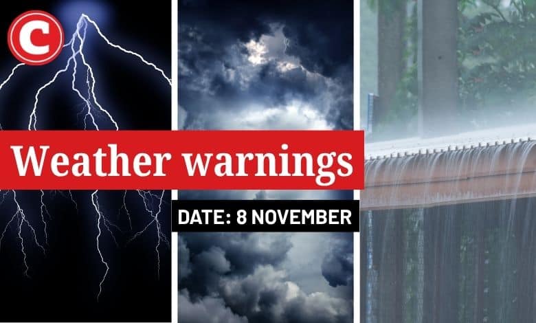
Weather warnings: Saturday, 8 November 2025
Impact-based warnings
The weather service has issued an orange level 5 warning for severe thunderstorms leading to flooding of susceptible roads, low-lying areas, and bridges, and damage or loss of infrastructure is expected over the northern parts of the Northern Cape.
A yellow level 2 warning was also issued for severe thunderstorms, leading to localised flooding of susceptible roads; low-lying areas and bridges are expected over the central and south-eastern parts of the Northern Cape.
Advisories
Heatwave conditions with persistently high temperatures are expected over the West Coast, the City of Cape Town and the western parts of the Cape Winelands Districts of the Western Cape until Sunday.
ALSO READ: Something’s heating up in Cape Town this weekend, says the weather service
Provincial weather forecast
Here’s what to expect in your province on Saturday, 8 November:
Gauteng:
Residents of Gauteng can expect cloudy and cool weather with isolated showers and thundershowers from the afternoon.
The region’s expected UVB sunburn index is “high”.
Residents should take the necessary precautions against prolonged sun exposure.
Mpumalanga:
Mpumalanga residents can expect drizzle along the escarpment; otherwise, the conditions will be cloudy and cool to cold with isolated showers and thundershowers over the Highveld. It will be warm over the Lowveld.
Limpopo:
There will be drizzle along the escarpment; otherwise, the day will be cloudy and cool to warm.
North West:
Cloudy and cool to warm weather awaits North West, with isolated showers and thundershowers.
Free State:
Residents of the Free State can look forward to morning fog patches in the extreme east; otherwise, conditions will be partly cloudy to cloudy and cool to warm, with scattered showers and thundershowers, but isolated in the north.
Northern Cape:
The day will start with morning fog along the coast; otherwise, it will be partly cloudy to cloudy and cool to warm with isolated to scattered showers and thundershowers, but widespread in the northern interior.
Western Cape:
Western Cape residents can expect cloudy to partly cloudy and warm to hot weather, but cool along the south coast, with isolated to scattered showers and thundershowers except over the south-western and southern coasts.
The region’s expected UVB sunburn index is “high”.
Residents should take the necessary precautions against prolonged sun exposure.
Eastern Cape (western half):
The day will start with morning fog in places; otherwise, it will be partly cloudy and warm to hot with isolated thundershowers in the north.
Eastern Cape (eastern half):
The day will start with morning fog in places; otherwise, it will be partly cloudy and warm with isolated thundershowers over the interior.
KwaZulu-Natal:
Residents of KwaZulu-Natal can look forward to morning fog patches over the interior; otherwise, conditions will be partly cloudy and cool to warm with isolated showers and thundershowers in the central and western interior.
The region’s expected UVB sunburn index is “high”.
Residents should take the necessary precautions against prolonged sun exposure.