Find out what the latest weather forecast from the SA Weather Service means for your region on 11 October 2025.
Picture: iStock
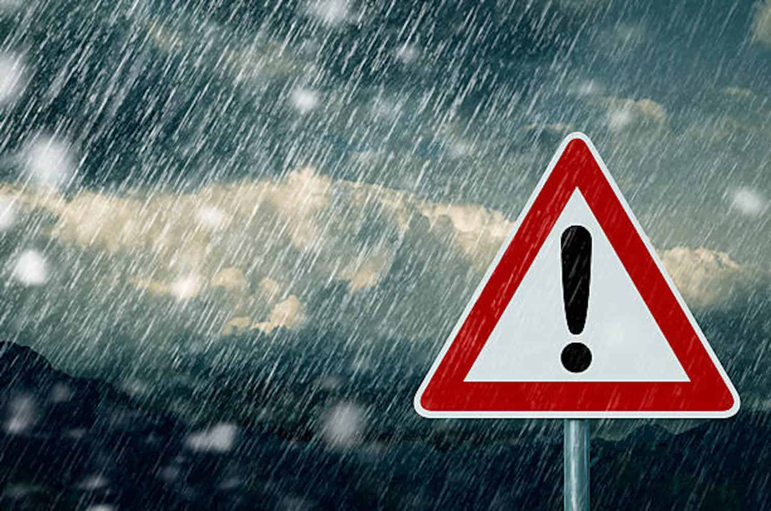
The South African Weather Service has issued multiple severe weather warnings for Sunday, 12 October 2025, with KwaZulu-Natal facing the highest alert level.
Weather warnings, Sunday, 12 October
Impact-based warnings
A yellow level 4 warning has been issued for KwaZulu-Natal, where severe thunderstorms are anticipated.
The weather service warns that heavy downpours, damaging winds, excessive lightning and large amounts of small hail will result in localised flooding of susceptible roads, low-lying areas and bridges.
Minor vehicle accidents as well as localised damage to infrastructure, settlements, particularly informal settlements, property, vehicles, livelihood, agricultural production and livestock are expected across the province.
Meanwhile, the south-eastern Highveld of Mpumalanga has been placed under a yellow level 2 warning.
Saws said severe thunderstorms with heavy downpours, damaging winds, excessive lightning, and large amounts of small hail or large hail over an open area will result in localised flooding and damage to settlements and infrastructure.
Fire danger warnings
Extremely high fire danger is expected over the Kagisano-Molopo local municipality of North West and the extreme northern parts of Limpopo, according to the weather service.
ALSO READ: Gauteng weekend weather: Possible rain as temperatures climb
Provincial weather outlook
Gauteng
Gauteng will experience cloudy and cool to warm conditions with isolated showers and thundershowers.
The expected UVB sunburn index is low.
Mpumalanga
Mpumalanga will be cloudy and warm with isolated to scattered showers and thundershowers, except in the northern Lowveld. The Lowveld will be partly cloudy and hot to very hot.
Limpopo
Limpopo will be partly cloudy and warm to hot with isolated showers and thundershowers in the south.
Very hot conditions are expected in places in the Lowveld, Limpopo Valley and the Western Bushveld.
North West
North West will experience partly cloudy and warm to hot weather with isolated showers and thundershowers.
Free State
The Free State will be partly cloudy and cool to warm, with isolated to scattered showers and thundershowers.
Northern Cape
The Northern Cape will see morning fog along the coast. Otherwise, it will be partly cloudy and warm with isolated showers and thundershowers in the east.
The wind along the coast will be moderate southerly.
Western Cape
The Western Cape will have morning fog in places. Otherwise, it will be partly cloudy and cool to warm.
Cloudy conditions are expected in the east with isolated showers and thundershowers in the extreme north-east.
The wind along the coast will be moderate to fresh south-easterly in the southwest, otherwise light to moderate. The expected UVB sunburn index is very high.
Western half of the Eastern Cape
The western half of the Eastern Cape will be cloudy and cool with scattered showers and thundershowers.
The wind along the coast will be light and variable west of Algoa Bay early morning, otherwise light to moderate easterly, becoming moderate to fresh north-easterly from the evening.
Eastern half of the Eastern Cape
The eastern half of the Eastern Cape will experience cloudy and cool conditions with widespread showers and thundershowers.
The wind along the coast will be moderate to fresh south-easterly, becoming moderate to fresh north-easterly in the south from the evening.
KwaZulu-Natal
KwaZulu-Natal will see morning fog over the interior. Otherwise, it will be cloudy with scattered showers and thundershowers.
Cool conditions with widespread showers are expected in the south.
The wind along the coast will be light to moderate easterly to north-easterly in the extreme north, otherwise light to moderate southerly to south-westerly. The expected UVB sunburn index is moderate.